
MAKEMO
Contributing agency


Station summaryMKTG


| IGS-type acronym : | MKTG00PYF |
| Latitude : | -16.62699800 |
| Longitude : | -143.56921200 |
| Installed date : | |
| Decommissioned date : | |
| Country : | FRANCE |
| City: | MAKEMO |
| Station status : | No data for 30 days (orange) |
| Distance to Tide Gauge (m) : | 2 |
| Domes Nr.: | 92509M001 |
| Station operator: |
GOP Contact
|
| IGS-like station form : |
GPS position times seriesMKTG
Position
(Reference epoch: )
(Reference epoch: )
Offsets (mm)
| M | Material change or malfunction |
| E | Earthquake |
| RF | Reference Frame change |
| U | Unknown |
| NA | Not available |
| Position discontinuity | |
| Velocity discontinuity |
Data available at SONELMKTG
Quality plots on RINEX filesMKTG
 |
 |
Plots generated using software developed with the EPN team at ROB |
| Observations & tracking performance | Satellite tracking |
 (this operation may take 20 to 45s)
The satellite tracking graph has been calculated for all stations for the first day of each month. If you wish to have a graph for another date, choose the 'Calculate a specific date' option.
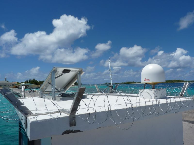
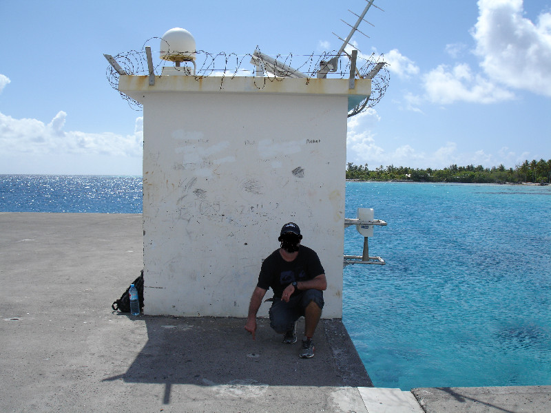
Co-located instrumentsMKTG
- Tide gauge : MAKEMO (MAKEM)
Leveling & DatumsMKTG
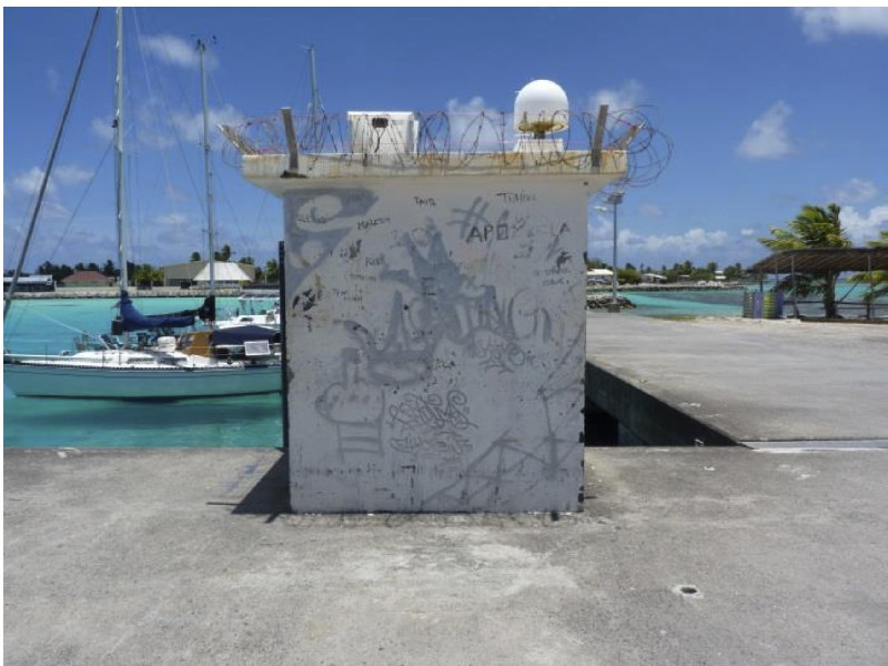
Photo albumMKTG
BibliographyMKTG
If you have a relevant reference to suggest, please send-us an e-mail : sonel@sonel.org-
 Xianjie-Li, Jean-Pierre-Barriot et al., 2023. Monitoring absolute vertical land motions and absolute sea-level changes from GPS and tide gauges data over French Polynesia. Geodesy and Geodynamics.


Log bookMKTG
2025-07-03 - Station unavailable (03/07/2025)
The station has been out of service since April 2025.
The receiver will be returned to Leica for repair


