
FOS SUR MER
Contributing agency

Station summaryPALI


| IGS-type acronym : | PALI00FRA |
| Latitude : | 43.37596944 |
| Longitude : | 4.81045767 |
| Installed date : | 2007-12-17 |
| Decommissioned date : | |
| Country : | FRANCE |
| City: | FOS SUR MER |
| Station status : | active (green) |
| Distance to Tide Gauge (m) : | 7410 |
| Domes Nr.: | 19725M001 |
| Station operator: | Unknown |
| IGS-like station form : |
GPS position times seriesPALI
Position
(Reference epoch: )
(Reference epoch: )
Offsets (mm)
| M | Material change or malfunction |
| E | Earthquake |
| RF | Reference Frame change |
| U | Unknown |
| NA | Not available |
| Position discontinuity | |
| Velocity discontinuity |
Data available at SONELPALI
Quality plots on RINEX filesPALI
 |
 |
Plots generated using software developed with the EPN team at ROB |
| Observations & tracking performance | Satellite tracking |
 (this operation may take 20 to 45s)
The satellite tracking graph has been calculated for all stations for the first day of each month. If you wish to have a graph for another date, choose the 'Calculate a specific date' option.
Co-located instrumentsPALI
- Tide gauge : FOS SUR MER (FSMER)
Leveling & DatumsPALI
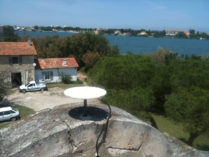
Photo albumPALI
Log bookPALI
[RGPmail] - 2019-12-16 (20/12/2019)
Data for GNSS station PALI (13, Bouches-du-Rhône, France) are now available since session 2019-336. Missing data are definitely lost.
----------------------------
Les données GNSS de la station PALI (13, Bouches-du-Rhône) sont de nouveau disponibles à partir de la session 336m.
Les données manquantes n’ont pas pu être récupérées.
[RGPmail] - 2015-11-10 (24/11/2015)
Due to a network problem, the PALI station stopped working. Its data are not available since session 300l. The delay for the restoration of is now unknown.


