
LA FIGUEIRETTE
Station summaryCANN


| IGS-type acronym : | CANN00FRA |
| Latitude : | 43.55458333 |
| Longitude : | 7.01572778 |
| Installed date : | 2015-11-30 |
| Decommissioned date : | 2016-12-12 |
| Country : | FRANCE |
| City: | LA FIGUEIRETTE |
| Station status : | Decommissioned (white and red cross) |
| Distance to Tide Gauge (m) : | 10254 |
| Domes Nr.: | 10089M002 |
| Station operator: | Unknown |
| IGS-like station form : |
GPS position times seriesCANN
Position
(Reference epoch: )
(Reference epoch: )
Offsets (mm)
| M | Material change or malfunction |
| E | Earthquake |
| RF | Reference Frame change |
| U | Unknown |
| NA | Not available |
| Position discontinuity | |
| Velocity discontinuity |
Data available at SONELCANN
Quality plots on RINEX filesCANN
 |
 |
Plots generated using software developed with the EPN team at ROB |
| Observations & tracking performance | Satellite tracking |
 (this operation may take 20 to 45s)
The satellite tracking graph has been calculated for all stations for the first day of each month. If you wish to have a graph for another date, choose the 'Calculate a specific date' option.
Co-located instrumentsCANN
- Tide gauge : LA FIGUEIRETTE (FIGUE)
- GPS : Cannes (CNNS)
- GPS : CANNES (CANE)
Leveling & DatumsCANN
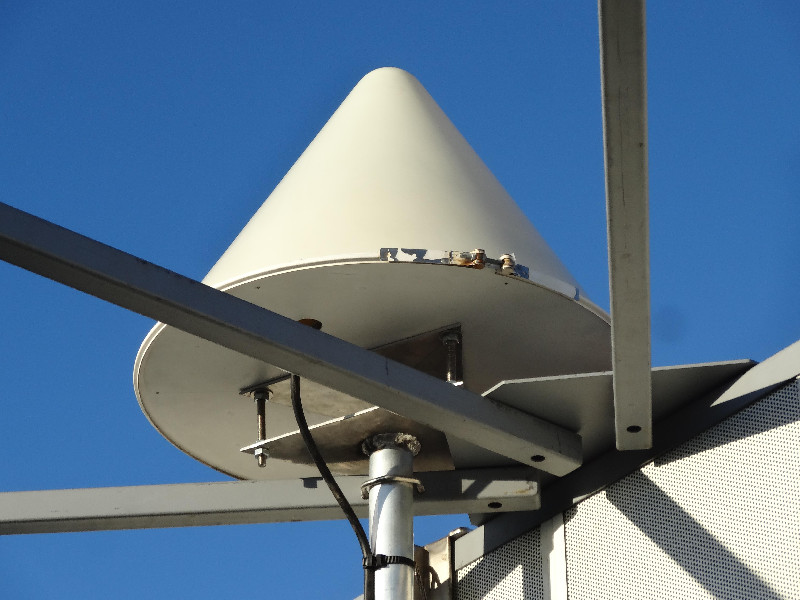
Photo albumCANN
History of the stationCANN
Replaces CNNS
Log bookCANN
[RGPmail] - 2016-12-14 (14/12/2016)
The CANN station (France) has been uninstalled on 2016, December 12.
The last delivered session is 2016-096x. Keep in mind that the data delivery has been interrupted due to the instability of the position of this station, and the data should be used cautiously.
The CANE station replaces this station.
[RGPmail] - 2016-04-06 (19/08/2016)
Due to instability at the CANN station (France), the data flow has been stopped til the problem is solved. The delay of recovery is unknown jet.


