PUERTO VALLARTA
Contributing agency

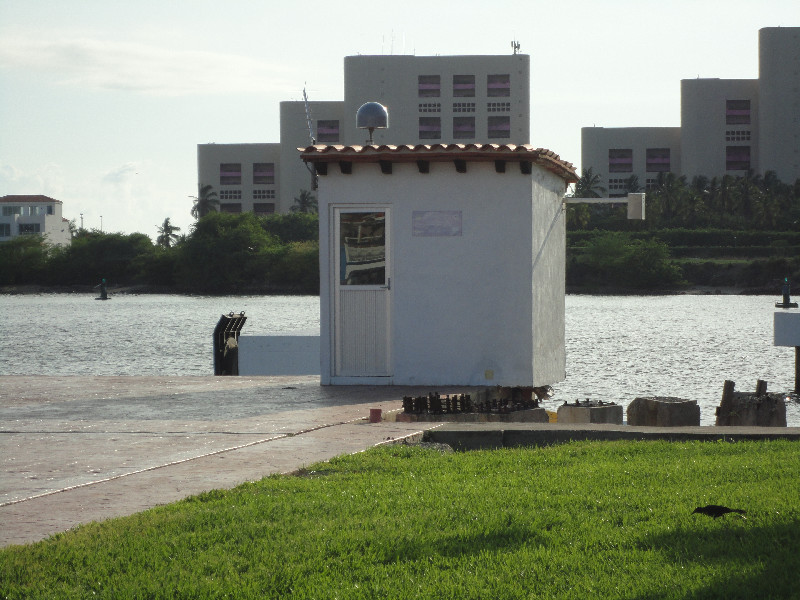
Station summaryPVLL


| IGS-type acronym : | PVLL |
| Latitude : | 20.65793889 |
| Longitude : | -105.24288889 |
| Installed date : | |
| Decommissioned date : | |
| Country : | MEXICO |
| City: | PUERTO VALLARTA |
| Station status : | Survey (blue) |
| Distance to Tide Gauge (m) : | 1 |
| Domes Nr.: | |
| Station operator: | (SMN-UNAM) - Instituto de Geofísica - Servicio Mareográfico Nacional - UNAM |
| IGS-like station form : |
Co-located instrumentsPVLL
- GPS : PUERTO VALLARTA (MPR1)
- Tide gauge : PUERTO VALLARTA (MPRTG)
- GPS : VALLARTA (VALL)
Photo albumPVLL