
HUELVA
Contributing agency


Station summaryHUE1

GNSS-IR


| IGS-type acronym : | HUE100ESP |
| Latitude : | 37.13200144 |
| Longitude : | -6.83369761 |
| Installed date : | 2017-06-25 |
| Decommissioned date : | |
| Country : | SPAIN |
| City: | HUELVA |
| Station status : | active (green) |
| Distance to Tide Gauge (m) : | 2 |
| Domes Nr.: | 17004M001 |
| Station operator: | (IGNE) - Instituto Geografico Nacional (PDE) - Puertos del Estado |
| IGS-like station form : |
GPS position times seriesHUE1
Position
(Reference epoch: )
(Reference epoch: )
Offsets (mm)
| M | Material change or malfunction |
| E | Earthquake |
| RF | Reference Frame change |
| U | Unknown |
| NA | Not available |
| Position discontinuity | |
| Velocity discontinuity |
Data available at SONELHUE1
Quality plots on RINEX filesHUE1
 |
 |
Plots generated using software developed with the EPN team at ROB |
| Observations & tracking performance | Satellite tracking |
 (this operation may take 20 to 45s)
The satellite tracking graph has been calculated for all stations for the first day of each month. If you wish to have a graph for another date, choose the 'Calculate a specific date' option.
Leveling & DatumsHUE1
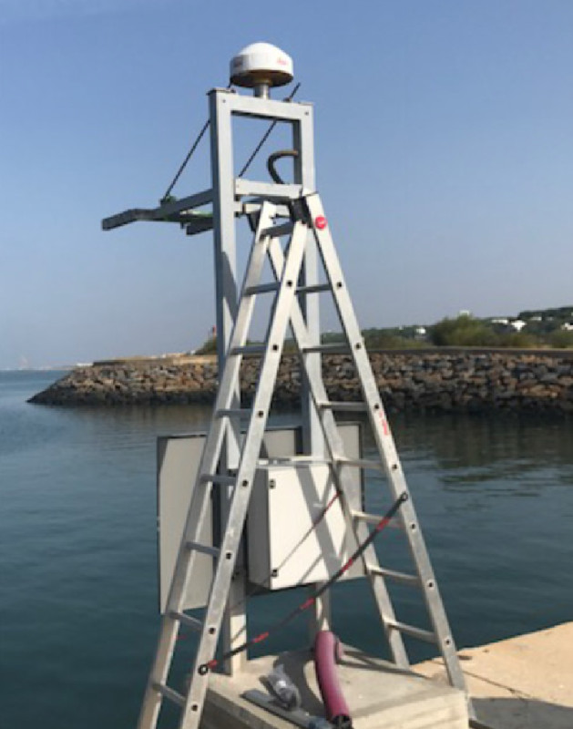
Photo albumHUE1
BibliographyHUE1
If you have a relevant reference to suggest, please send-us an e-mail : sonel@sonel.org-
 Lin-Ye, Pérez-Gomez et al., 2020. The Huelva (Spain) Tsunami-Ready Station and Its Interaction with Storm Emma (March 2018). Marine Geodesy.


