
REDWOOD CITY
Contributing agency

Station summarySLAC


| IGS-type acronym : | SLAC00USA |
| Latitude : | 37.41651667 |
| Longitude : | -122.20426111 |
| Installed date : | 2003-02-01 |
| Decommissioned date : | |
| Country : | U.S.A. |
| City: | REDWOOD CITY |
| Station status : | active (green) |
| Distance to Tide Gauge (m) : | 10057 |
| Domes Nr.: | 49523S001 |
| Station operator: | (UNAVCO) - UNAVCO |
| IGS-like station form : |
GPS position times seriesSLAC
Position
(Reference epoch: )
(Reference epoch: )
Offsets (mm)
| M | Material change or malfunction |
| E | Earthquake |
| RF | Reference Frame change |
| U | Unknown |
| NA | Not available |
| Position discontinuity | |
| Velocity discontinuity |
Data available at SONELSLAC
Quality plots on RINEX filesSLAC
 |
 |
Plots generated using software developed with the EPN team at ROB |
| Observations & tracking performance | Satellite tracking |
 (this operation may take 20 to 45s)
The satellite tracking graph has been calculated for all stations for the first day of each month. If you wish to have a graph for another date, choose the 'Calculate a specific date' option.
Co-located instrumentsSLAC
- Tide gauge : REDWOOD CITY, CALIFORNIA (SLATG)
- GPS : Stanford University (STFU)
- GPS : MillsCreekCN2007 (P176)
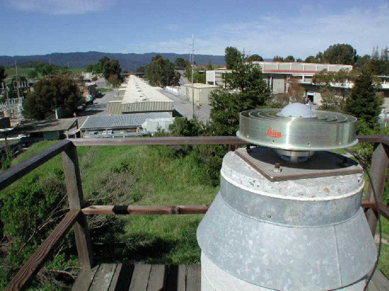
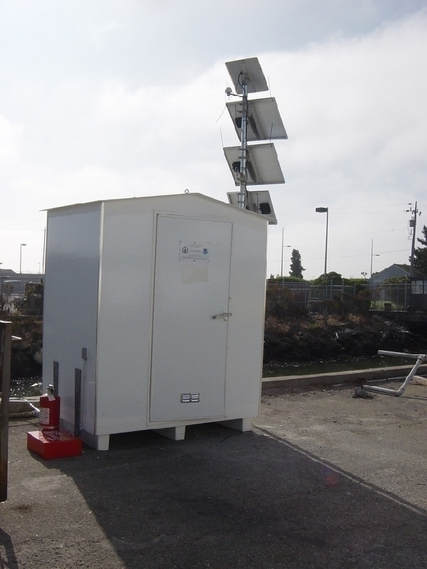
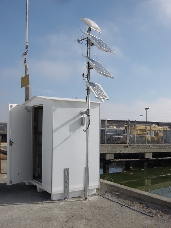
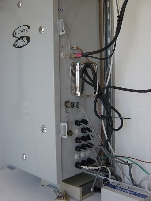
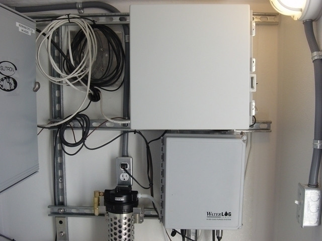
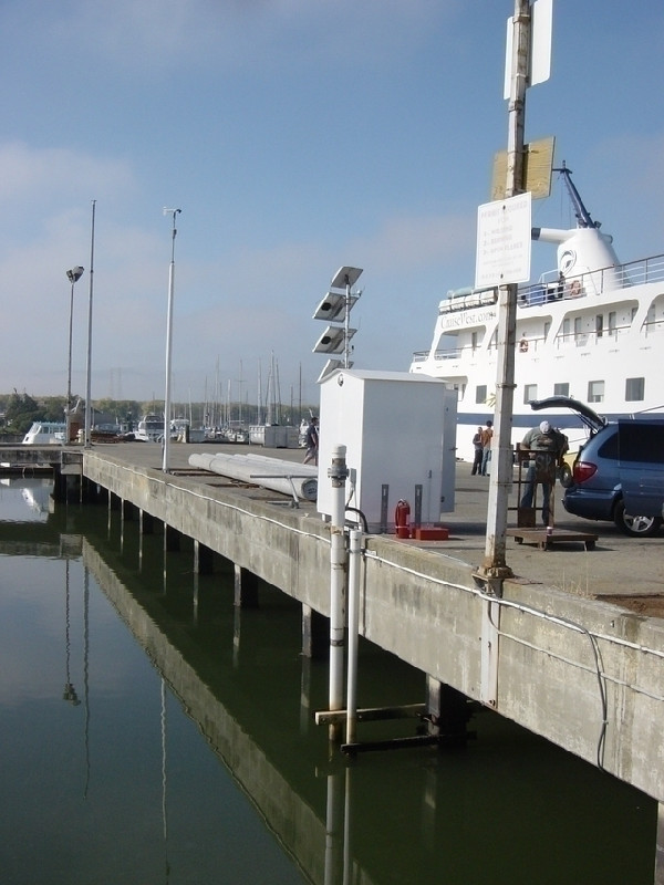
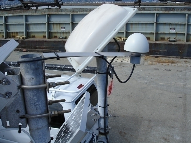
Photo albumSLAC
BibliographySLAC
If you have a relevant reference to suggest, please send-us an e-mail : sonel@sonel.org-
 Guo, Hou et al., 2021. Detection of Particulate Matter Changes Caused by 2020 California Wildfires Based on GNSS and Radiosonde Station. Remote Sensing.


