
SCOTT BASE
Contributing agency

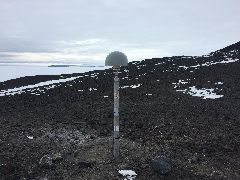
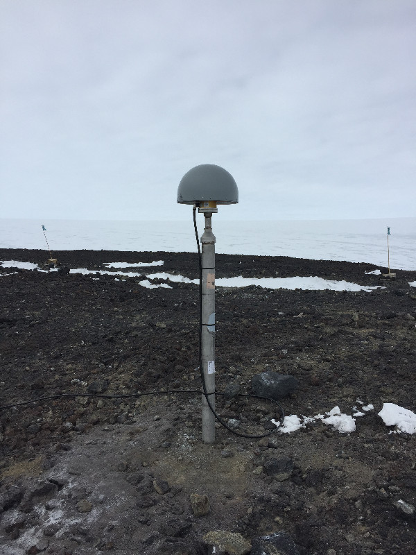
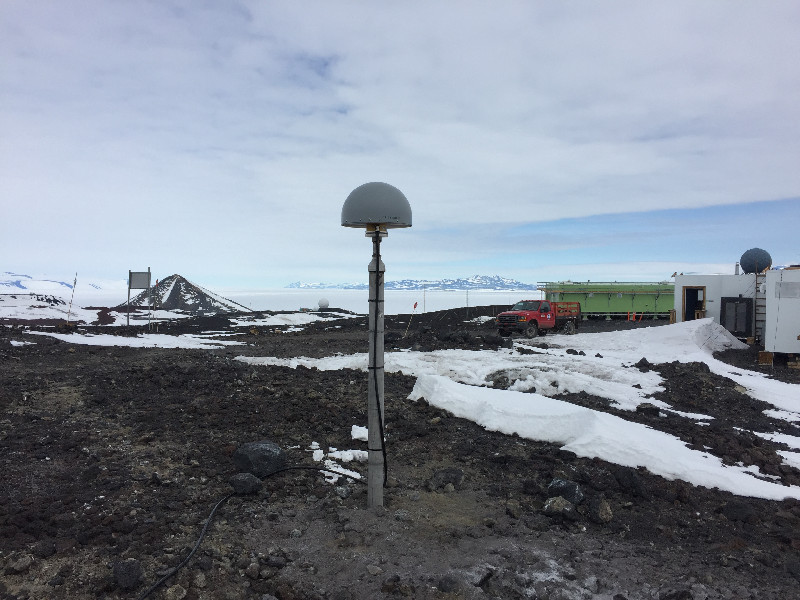
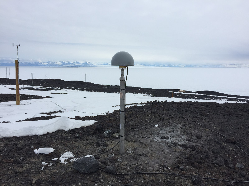
Station summaryARHT


| IGS-type acronym : | ARHT00ATA |
| Latitude : | -77.82943611 |
| Longitude : | 166.66365278 |
| Installed date : | 2017-12-05 |
| Decommissioned date : | |
| Country : | NEW ZEALAND |
| City: | SCOTT BASE |
| Station status : | active (green) |
| Distance to Tide Gauge (m) : | 3334 |
| Domes Nr.: | 66001M005 |
| Station operator: | (JPL) - Jet Propulsion Laboratory |
| IGS-like station form : |
GPS position times seriesARHT
(Reference epoch: )
| M | Material change or malfunction |
| E | Earthquake |
| RF | Reference Frame change |
| U | Unknown |
| NA | Not available |
| Position discontinuity | |
| Velocity discontinuity |
Data available at SONELARHT
Quality plots on RINEX filesARHT
 |
 |
Plots generated using software developed with the EPN team at ROB |
| Observations & tracking performance | Satellite tracking |
 (this operation may take 20 to 45s)
The satellite tracking graph has been calculated for all stations for the first day of each month. If you wish to have a graph for another date, choose the 'Calculate a specific date' option.
Co-located instrumentsARHT
- GPS : MCMURDO (MCM4)
- Tide gauge : SCOTT BASE (MCMTG)
- GPS : SCOTT BASE (SCTB)
- GPS : Arrival_Heights_ (ARVL)
- GPS : McMurdo_CraryLab (CRAR)
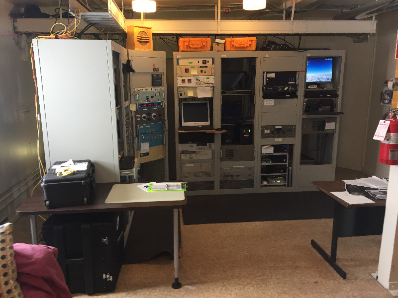
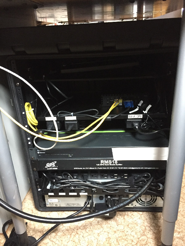
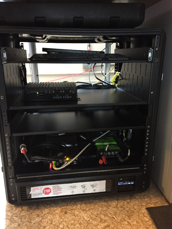
Photo albumARHT
Log bookARHT
[IGSSTATION-7308] - 2018-04-23 (15/05/2018)
Please notice that ARHT RINEX files include only L2 observables for BeiDou constellation.
Code and carrier phases for L7 are not included according to the RINEX observation header:
G 12 C1C L1C S1C C1W L1W S1W C2W L2W S2W C5X L5X S5X SYS / # / OBS TYPES
R 12 C1C L1C S1C C1P L1P S1P C2P L2P S2P C3X L3X S3X SYS / # / OBS TYPES
E 12 C1X L1X S1X C8X L8X S8X C7X L7X S7X C5X L5X S5X SYS / # / OBS TYPES
C 4 C2I L2I S2I S7I SYS / # / OBS TYPES
where ftp://ftp.cddis.eosdis.nasa.gov/pub/gnss/data/daily/2018/110/18d/ARHT00ATA_R_20181100000_01D_30S_MO.crx.gz was used for the above example.
The same applies for all the CDDIS files starting with DOY 2018-067


