
EASTPORT
Station summaryEPRT


| IGS-type acronym : | EPRT00USA |
| Latitude : | 44.90869904 |
| Longitude : | -66.99210358 |
| Installed date : | 1998-10-02 |
| Decommissioned date : | |
| Country : | U.S.A. |
| City: | EASTPORT |
| Station status : | No data for 30 days (orange) |
| Distance to Tide Gauge (m) : | 853 |
| Domes Nr.: | 49928S001 |
| Station operator: | Unknown |
| IGS-like station form : |
GPS position times seriesEPRT
Position
(Reference epoch: )
(Reference epoch: )
Offsets (mm)
| M | Material change or malfunction |
| E | Earthquake |
| RF | Reference Frame change |
| U | Unknown |
| NA | Not available |
| Position discontinuity | |
| Velocity discontinuity |
Data available at SONELEPRT
Quality plots on RINEX filesEPRT
 |
 |
Plots generated using software developed with the EPN team at ROB |
| Observations & tracking performance | Satellite tracking |
 (this operation may take 20 to 45s)
The satellite tracking graph has been calculated for all stations for the first day of each month. If you wish to have a graph for another date, choose the 'Calculate a specific date' option.
Comparison with satellite altimetry data
- Link to Sea Level Differences (Satellite altimetry minus tide gauge data).
Co-located instrumentsEPRT
- Tide gauge : EASTPORT (EPRTG)
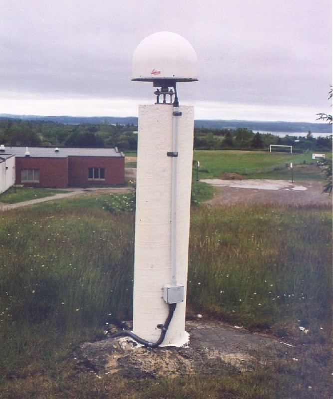
Photo albumEPRT
Log bookEPRT
[IGSSTATION-5858] - 2014-07-03 (24/07/2014)
EPRT data collection has been suspended due to a very significant
signal loss that is being investigated. I'm sorry that just within 72
hrs of getting the station back on line after 2 years we are suspending it.


