
HOLMAN
Contributing agency

Station summaryHOLM


| IGS-type acronym : | HOLM00CAN |
| Latitude : | 70.73630444 |
| Longitude : | -117.76123419 |
| Installed date : | 2001-08-28 |
| Decommissioned date : | |
| Country : | CANADA |
| City: | ULUKHAKTUK, FORMERLY HOLMAN (VICTORIA ISLAND) |
| Station status : | No data for 30 days (orange) |
| Distance to Tide Gauge (m) : | 250 |
| Domes Nr.: | 40148M001 |
| Station operator: | (NRCan) - National Resources Canada |
| IGS-like station form : |
GPS position times seriesHOLM
(Reference epoch: )
| M | Material change or malfunction |
| E | Earthquake |
| RF | Reference Frame change |
| U | Unknown |
| NA | Not available |
| Position discontinuity | |
| Velocity discontinuity |
Data available at SONELHOLM
Quality plots on RINEX filesHOLM
 |
 |
Plots generated using software developed with the EPN team at ROB |
| Observations & tracking performance | Satellite tracking |
 (this operation may take 20 to 45s)
The satellite tracking graph has been calculated for all stations for the first day of each month. If you wish to have a graph for another date, choose the 'Calculate a specific date' option.
Co-located instrumentsHOLM
- Tide gauge : ULUKHAKTOK (HOLTG)
Leveling & DatumsHOLM
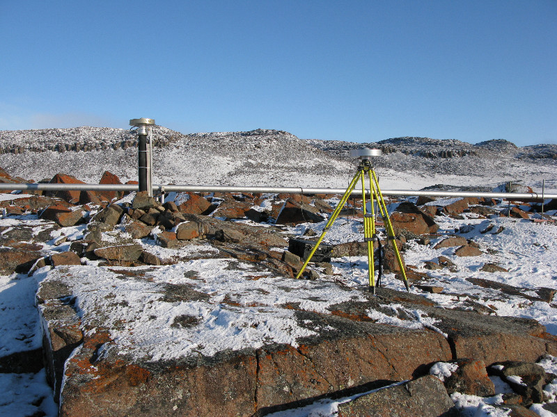
Photo albumHOLM
Log bookHOLM
IGSSTATION-7206] - 2017-12-22 (02/01/2018)
Communications problems continue to plague HOLM. We have be unable to retrieve data since Day 339 (December 5). As yet we have also been unable to get our onsite contact to investigate the problem further. I will advise when more is known.
The Hamlet of Ulukhaktok/Holman
https://farm4.staticflickr.com/3553/3517157348_076d1f2ab2_b.jpg
[IGSSTATION-7027] - 2017-05-22 (24/05/2017)
After a 4 month communication outage since January 20 and repeated repair attempts, NorthwesTel has finally repaired the telephone line at HOLM and regular data delivery has resumed. Due to the low storage capacity of the Ashtech Micro-Z receiver, data could not be recovered for Days 020-050
[IGSSTATION-5827] - 2014-06-14 (16/06/2014)
In the process of tearing down the municipal garage where our GPS and tide gauge equipment was located, the interior room our gear was in was left standing by itself with little support around it. We were planning to remove our equipment this weekend and install it in the neighbouring garage next week when the new antenna cable arrives.
Unfortunately, we were too late. The room was just blown down about an hour ago by 80 kph winds. The site is now off-line. The monument and antenna should be fine but we expect the GPS receiver and comms equipment were damaged in the collapse. Our local contact will investigate further when safe to do so.
Our own technician will be arriving next week with a replacement receiver and modem and will reinstall the gear in the neighbouring garage. I will advise when the site is back on-line.
[IGSSTATION-5773] - 2014-05-08 (12/05/2014)
As notified in IGSSTATION Mail 5762, another power outage occurred at HOLM. Data was lost from 20:22:30 on Day 126 (May 6) to 17:43:00 on Day 127 (May 7).
[IGSSTATION-5762] - 2014-05-02 (05/05/2014)
There was an unexpected power outage at the HOLM site. Data was lost from 16:23:30 on Day 120 (April 30) to 17:26:00 on Day 121 (May 1).
Note that a further, more extended, power outage is expected in the next month or two due to the need to move our GPS receiver and tide gauge equipment to the building next door.


