
LAGOS
Station summaryLAGO


| IGS-type acronym : | LAGO00PRT |
| Latitude : | 37.09893792 |
| Longitude : | -8.66837767 |
| Installed date : | 2000-01-02 |
| Decommissioned date : | |
| Country : | PORTUGAL |
| City: | LAGOS |
| Station status : | active (green) |
| Distance to Tide Gauge (m) : | 134 |
| Domes Nr.: | 13903M001 |
| Station operator: |
Helena Ribeiro
(DGT) - Direcao-Geral do Territorio |
| IGS-like station form : |
GPS position times seriesLAGO
Position
(Reference epoch: )
(Reference epoch: )
Offsets (mm)
| M | Material change or malfunction |
| E | Earthquake |
| RF | Reference Frame change |
| U | Unknown |
| NA | Not available |
| Position discontinuity | |
| Velocity discontinuity |
Data available at SONELLAGO
Quality plots on RINEX filesLAGO
 |
 |
Plots generated using software developed with the EPN team at ROB |
| Observations & tracking performance | Satellite tracking |
 (this operation may take 20 to 45s)
The satellite tracking graph has been calculated for all stations for the first day of each month. If you wish to have a graph for another date, choose the 'Calculate a specific date' option.
Co-located instrumentsLAGO
- Tide gauge : LAGOS (LAGTG)
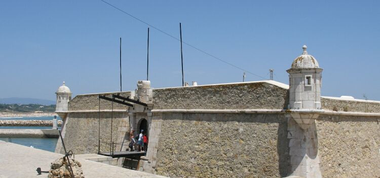
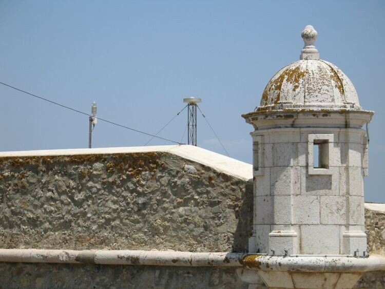
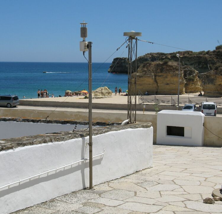
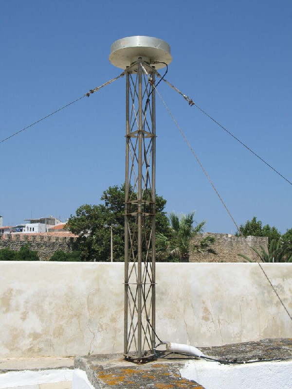
Photo albumLAGO
Log bookLAGO
[EUREFmail-9452] - 2018-06-19 (19/06/2018)
On June 21st (DOY 172) we will do some maintenance at LAGO station.
The station will not be working during most of this day.
[EUREFmail-9285] - 2018-02-05 (16/02/2018)
Due to the need of maintenance services in the Portuguese CORS GNSS network, all
services for the stations CASC, FLRS, FUNC, GAIA, LAGO and PDEL will be
inoperative between 2018-02-14 (DOY 45) 12:00 UT and 2018-02-23 (DOY 54) 20:00 UT.
There will be no hourly files for this period.
The dayly files will be uploaded as soon as possible.


