
TUKTOYAKTUK
Contributing agency

Station summaryTUKT

GNSS-IR


| IGS-type acronym : | TUKT00CAN |
| Latitude : | 69.43823525 |
| Longitude : | -132.99434954 |
| Installed date : | 2003-08-21 |
| Decommissioned date : | |
| Country : | CANADA |
| City: | TUKTOYAKTUK |
| Station status : | No data for 30 days (orange) |
| Distance to Tide Gauge (m) : | 30 |
| Domes Nr.: | 40165M001 |
| Station operator: | Unknown |
| IGS-like station form : |
GPS position times seriesTUKT
Position
(Reference epoch: )
(Reference epoch: )
Offsets (mm)
| M | Material change or malfunction |
| E | Earthquake |
| RF | Reference Frame change |
| U | Unknown |
| NA | Not available |
| Position discontinuity | |
| Velocity discontinuity |
Data available at SONELTUKT
Quality plots on RINEX filesTUKT
 |
 |
Plots generated using software developed with the EPN team at ROB |
| Observations & tracking performance | Satellite tracking |
 (this operation may take 20 to 45s)
The satellite tracking graph has been calculated for all stations for the first day of each month. If you wish to have a graph for another date, choose the 'Calculate a specific date' option.
Co-located instrumentsTUKT
- Tide gauge : TUKTOYAKTUK (TUKTG)
Leveling & DatumsTUKT
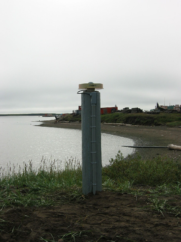
Photo albumTUKT
Log bookTUKT
[IGSSTATION-5872] - 2014-07-17 (22/07/2014)
Power has been restored at TUKT and the station is now back on-line. Unfortunately, no data is available from 2014-07-02 (Day 183) 17:01 UT until 2014-07-16 (Day 197) 23:18 UT. The partial daily files for Days 183


