
IBIZA
Contributing agency


Station summaryIBIZ


| IGS-type acronym : | IBIZ00ESP |
| Latitude : | 38.91124779 |
| Longitude : | 1.44896477 |
| Installed date : | 2004-09-16 |
| Decommissioned date : | |
| Country : | SPAIN |
| City: | IBIZA |
| Station status : | active (green) |
| Distance to Tide Gauge (m) : | 78 |
| Domes Nr.: | 13454S001 |
| Station operator: |
Sanchez Sobrino Jose A.
|
| IGS-like station form : |
GPS position times seriesIBIZ
(Reference epoch: )
| M | Material change or malfunction |
| E | Earthquake |
| RF | Reference Frame change |
| U | Unknown |
| NA | Not available |
| Position discontinuity | |
| Velocity discontinuity |
Data available at SONELIBIZ
Quality plots on RINEX filesIBIZ
 |
 |
Plots generated using software developed with the EPN team at ROB |
| Observations & tracking performance | Satellite tracking |
 (this operation may take 20 to 45s)
The satellite tracking graph has been calculated for all stations for the first day of each month. If you wish to have a graph for another date, choose the 'Calculate a specific date' option.
Leveling & DatumsIBIZ
Photo albumIBIZ
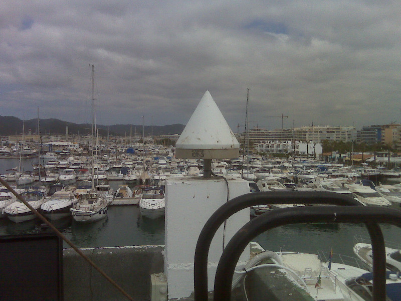
History of the stationIBIZ
La station GPS IBIZ a été installee en Octobre 2004 par Puertos del Estado (Espagne) dans le cadre du programme europeen ESEAS (http://www.eseas.org/). L'objectif est clairement la surveillance geodesique du maregraphe. Elle est donc situee idealement sur le toit du batiment abritant le maregraphe (cf. photos ci-dessous).
Log bookIBIZ
Le 04/08/2009: RINEX défectueux depuis 2007/300 (28/06/2013)
Les calculs ULR4 montrent que les mesures de IBIZ depuis le 27/10/2007 (2007/300) sont défectueuses, jusqu'au 31/12/2008 au moins (pas de calculs après cette date). Nous supprimons les fichiers RINEX correspondants du serveur.


