
FORT-DE-FRANCE
Station summary


| Responsible organization: | link to REFMAR web page |
| Latitude : | 14.60149956 |
| Longitude : | -61.06320190 |
| Start date: | |
| End date: | |
| GLOSS Nr.: | 338 |
| Country: | FRANCE |
| City: | FORT-DE-FRANCE |
| Station state: | VERT |
Mean sea level
Daily means
Monthly means
Annual means
Calculating the mean sea levels
Links to data sources

Co-located instrumentsFOR2F
- GPS : LE LAMENTIN (LMMF)
- GPS : FORT-DE-FRANCE (FFTG)
- Doris : LE LAMENTIN (LAOB)
- GPS : Fort-de-France (FFT2)
Leveling & DatumsFOR2F
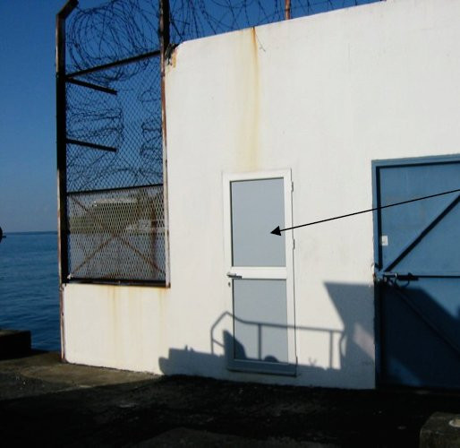
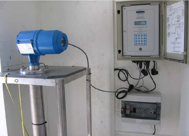
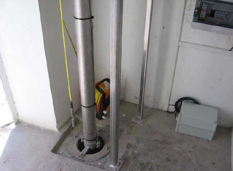
Photo albumFOR2F
BibliographyFOR2F
If you have a relevant reference to suggest, please send-us an e-mail : sonel@sonel.org-
 Gravalon, Seoane et al., 2021. The impact of barometric variations on the sea level in coastal areas using GNSS reflectometry. IGARSS Conference.
-
Gravalon, Seoane et al., 2022. Determination of weather-induced short-term sea level variations by GNSS reflectometry. Remote Sensing of Environment.


-
Lhermitte, 2015. Travaux réalisés en Martinique en 2014 dans le cadre de la convention SONEL.
-
Poyard, 2013. Co-location survey (Le Lamentin, French West Indies). Rapport Technique IGN/SGN, RT/G 171, 28466.
Logbook
Le 16/02/2010 (08/04/2010)
Relance du MCN. Archivage des données.Le 26/11/2009 (11/12/2009)
Relance du MCN.Archivage des données à 10 min et HH.
History of this station
A venir


