
SAINTE-HELENE
Station summary


Links to data sources

Co-located instrumentsSHELE
- Doris : ST HELENA (HEMB)
- GPS : Saint Helena (STHL)
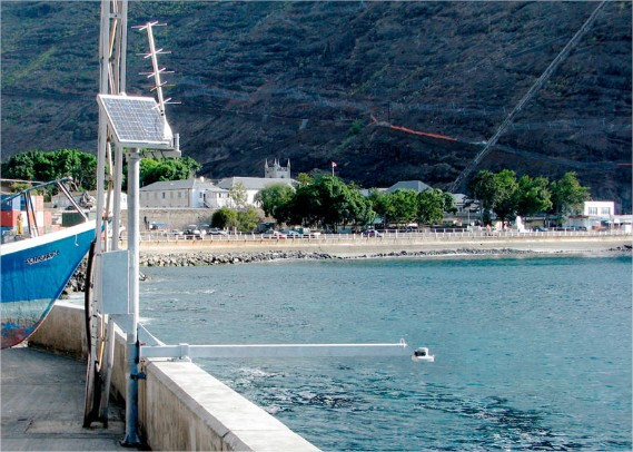
- Tide gauge : Rupert's Bay (STHRB)
- GPS : Jameston (SHTA)
- GPS : Jamestown Hill (RTOW)
Leveling & DatumsSHELE
Photo albumSHELE
BibliographySHELE
If you have a relevant reference to suggest, please send-us an e-mail : sonel@sonel.org-
 Woodworth, Hibbert, 2015. Sea-level monitoring in the British verseas Territories. Journal of Operational Oceanography.

History of this station
Installation: 1986


