
ASTORIA
Station summary


Links to data sources

Comparison with satellite altimetry data
- Link to Sea Level Differences (Satellite altimetry minus tide gauge data).
Co-located instrumentsFTSTG
- GPS : FORT STEVENS 1 (FTS1)
- GPS : FORT STEVENS 5 (FTS5)
- GPS : TONGUE POINT 2 (TPW2)
- GPS : astorrsvr_or2024 (P826)
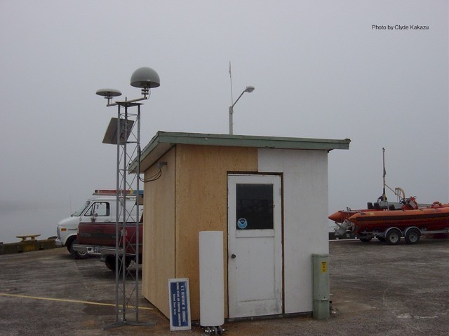
Photo albumFTSTG
BibliographyFTSTG
If you have a relevant reference to suggest, please send-us an e-mail : sonel@sonel.org-
 Talke, Mahedy et al., 2020. Sea level, tidal and river flow trends in the Lower Columbia River Estuary, 1853-present. Journal of Geophysical Research: Oceans.


