
DIEGO GARCIA ISLAND
Station summary


Links to data sources

Co-located instrumentsDGCTG
- GPS : DIEGO GARCIA ISLAND (DGAR)
- GPS : DIEGO GARCIA ISLAND (DGAV)
- Tide gauge : DIEGO GARCIA D (DGCT2)
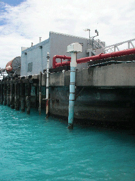
Photo albumDGCTG
BibliographyDGCTG
If you have a relevant reference to suggest, please send-us an e-mail : sonel@sonel.org-
 Dunne, 2012. Contemporary sea level in the Chagos Archipelago, central Indian Ocean. Global and Planetary Change.

-
Woodworth, Hibbert, 2015. Sea-level monitoring in the British verseas Territories. Journal of Operational Oceanography.


