
ANNAPOLIS
Station summary


Links to data sources

Comparison with satellite altimetry data
- Link to Sea Level Differences (Satellite altimetry minus tide gauge data).
Co-located instrumentsANPTG
- GPS : U.S. Naval Academy (USNA)
- GPS : ANNAPOLIS 1 (ANP1)
- GPS : ANNAPOLIS 5 (ANP5)
- Tide gauge : GINGERVILLE CREEK (GINGC)
- GPS : Annapolis MD (LOYF)
- GPS : Annapolis 6 (ANP6)
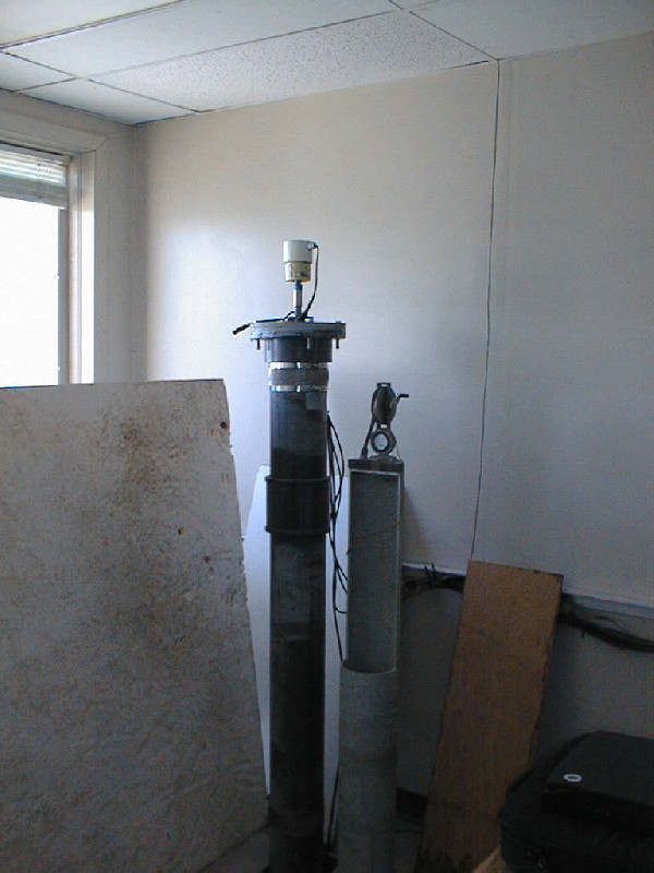
Photo albumANPTG
BibliographyANPTG
If you have a relevant reference to suggest, please send-us an e-mail : sonel@sonel.org-
 Ezer, Corlett, 2012. Is sea level rise accelerating in the Chesapeake Bay? A demonstration of a novel new approach for analyzing sea level data. Geophysical Research Letters.

-
Ezer, 2013. Sea level rise, spatially uneven and temporally unsteady: Why the U.S. East Coast, the global tide gauge record, and the global altimeter data show different trends. Geophysical Research Letters.


