
SANTANDER
Station summary


Links to data sources

Comparison with satellite altimetry data
- Link to Sea Level Differences (Satellite altimetry minus tide gauge data).
Co-located instrumentsSANT1
- GPS : Santander (CANT)
- Tide gauge : SANTANDER 3 (SANTA)
- Tide gauge : SANTANDER 2 (SANT2)
Leveling & DatumsSANT1
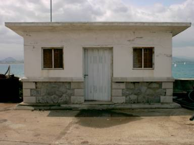
Photo albumSANT1
BibliographySANT1
If you have a relevant reference to suggest, please send-us an e-mail : sonel@sonel.org-
 F.-Birol, N.-Fuller et al., 2017. Coastal applications from nadir altimetry: Example of the X-TRACK regional products. Advances in Space Research.


-
Marcos, Puyol et al., 2020. Historical tide gauge sea-level observations in Alicante and Santander (Spain) since the 19th century. Geoscience Data Journal.


