
CUXHAVEN
Station summary


Links to data sources

Comparison with satellite altimetry data
- Link to Sea Level Differences (Satellite altimetry minus tide gauge data).
Co-located instrumentsCUXTG
- GPS : CUXHAVEN Steubenhöft (TGCU)
Leveling & DatumsCUXTG
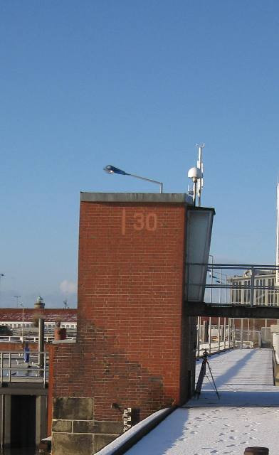
Photo albumCUXTG
BibliographyCUXTG
If you have a relevant reference to suggest, please send-us an e-mail : sonel@sonel.org-
 Dangendorf, Mudersbach et al., 2013. Characteristics of intra-, inter-annual and decadal sea-level variability and the role of meteorological forcing: the long record of Cuxhaven. Ocean Dynamics.

-
Esselborn, Schöne et al., 2022. Validation of Recent Altimeter Missions at Non-Dedicated Tide Gauge Stations in the Southeastern North Sea. Remote Sensing.

-
Wahl, Haigh et al., 2013. Observed mean sea level changes around the North Sea coastline from 1800 to present. Earth-Science Reviews.


