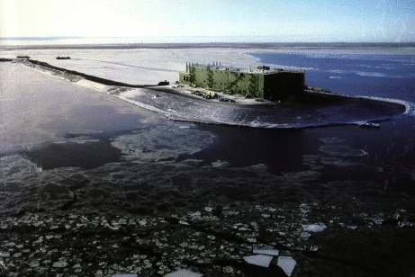
PRUDHOE BAY

Station summary

Showing all stations within 1000 km of the observed station Active station No data for 30 days Decommissioned No observations in SONEL (Survey) Not co-located with observed station
Showing all stations within 1000 km of the observed station Available data / Station OK Available data / Problem(s) detected Does not work No longer exists Foreign partner management Not co-located with observed station
Showing all stations within 1000 km of the observed station Co-located with observed station Not co-located with observed station
  • More informations on each symbol.
  • GPS
    Tide Gauge
    DORIS
Responsible organization: National Oceanic and Atmospheric Administration
Latitude : 70.40000000
Longitude : -148.52666700
GLOSS Nr.: 151
Country: U.S.A.
City: PRUDHOE BAY
Station state: Foreign partner

Co-located instrumentsPBCTG

Photo albumPBCTG

BibliographyPBCTG

If you have a relevant reference to suggest, please send-us an e-mail : sonel@sonel.org
  • puce Rose, Andersen et al., 2019. Arctic Ocean Sea Level Record from the Complete Radar Altimetry Era: 1991–2018. Remote Sensing. Get this reference BibTeX of the reference