
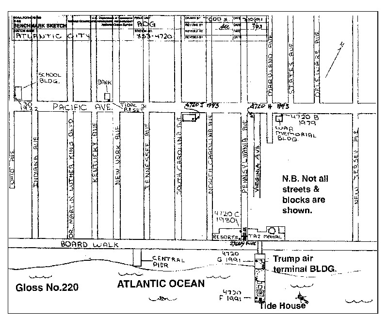
ATLANTIC CITY
Station summary


Links to data sources

Comparison with satellite altimetry data
- Link to Sea Level Differences (Satellite altimetry minus tide gauge data).
Co-located instrumentsACITY
- GPS : Atlantic City (NJA1)
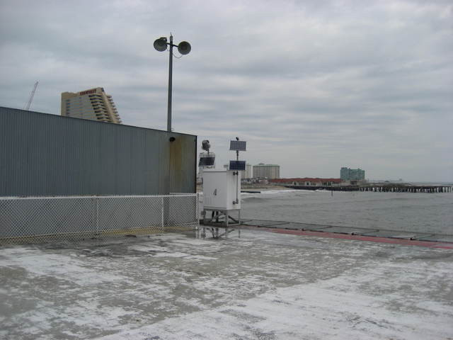
Photo albumACITY
BibliographyACITY
If you have a relevant reference to suggest, please send-us an e-mail : sonel@sonel.org-
 Ezer, 2013. Sea level rise, spatially uneven and temporally unsteady: Why the U.S. East Coast, the global tide gauge record, and the global altimeter data show different trends. Geophysical Research Letters.


