
PORTO GARIBALDI
Station summary


Links to data sources

Co-located instrumentsGARTG
- GPS : PORTO GARIBALDI (GARI)
Leveling & DatumsGARTG
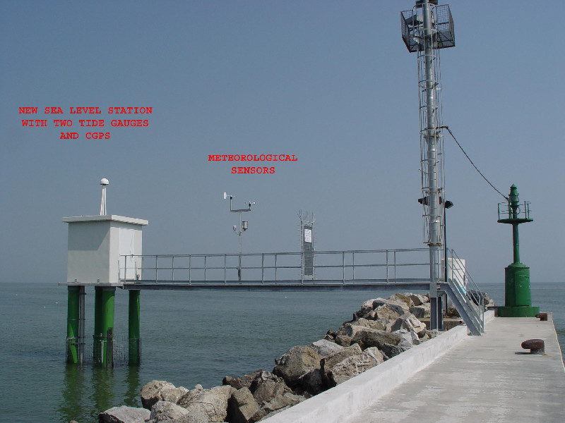
Photo albumGARTG
BibliographyGARTG
If you have a relevant reference to suggest, please send-us an e-mail : sonel@sonel.org-
 Matteo-Meli, Marco-Marcaccio et al., 2025. Temporal and spatial analysis of relative sea-level changes across the Emilia-Romagna coastal plain (northern Adriatic Sea). Estuarine, Coastal and Shelf Science.


-
Meli, Olivieri et al., 2021. Sea-Level Change along the Emilia-Romagna Coast from Tide Gauge and Satellite Altimetry. Remote Sensing.


