
CEDAR KEY
Station summary


Links to data sources

Comparison with satellite altimetry data
- Link to Sea Level Differences (Satellite altimetry minus tide gauge data).
Co-located instrumentsCEDAR
- Tide gauge : CEDAR KEY (CDKEY)
- GPS : FLORIDA CEDAR KEY (FLCK)
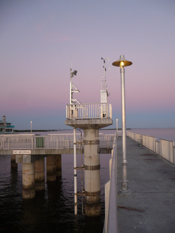
Photo albumCEDAR
BibliographyCEDAR
If you have a relevant reference to suggest, please send-us an e-mail : sonel@sonel.org-
 C.-Letetrel, M.-Karpytchev et al., 2015. Estimation of vertical land movement rates along the coasts of the Gulf of Mexico over the past decades. Continental Shelf Research.


-
Liu, Li et al., 2020. Land subsidence contributions to relative sea level rise at tide gauge Galveston Pier 21, Texas. Scientific Reports.


