
LEVELING OF POINTE DES GALETS
Benchmark positionning related to the tide gauge station
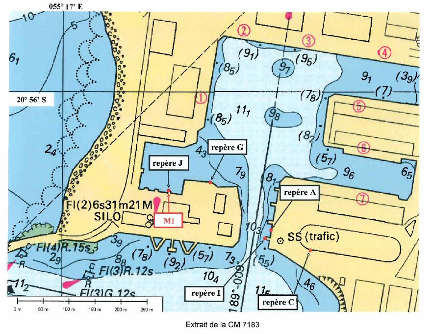
Benchmarks description table
Benchmarks vertical positionning diagram
Reference:
Leveling evolution


Download leveling data
TIDE GAUGE LOCAL LEVELING NETWORK DATA OF STATION Le Port
-----------------------------------------------------------------------------------------------------
Benchmark Lat. Long. Height Year of determination St.dev Distance_to_TG
10chr (°) 14chr (°) 14chr (m) 10chr 22chr (m)10chr (m) 10chr
-----------------------------------------------------------------------------------------------------
A ---- ---- 9.309 2008 0.00000 ----
C ---- ---- 15.204 2008 0.00100 ----
G ---- ---- 7.552 2008 0.00100 ----
H ---- ---- ---- ---- ---- ----
I ---- ---- 9.485 2008 0.00100 ----
J ---- ---- 8.600 2008 0.00200 ----
Co-located instruments
- Tide Gauge : PTE GALETS, REUNION (GALET)
- GPS : Le Port (LEPO)


