LEVELING OF Easter Island (Isla de Pascua)
Benchmark positionning related to the tide gauge station
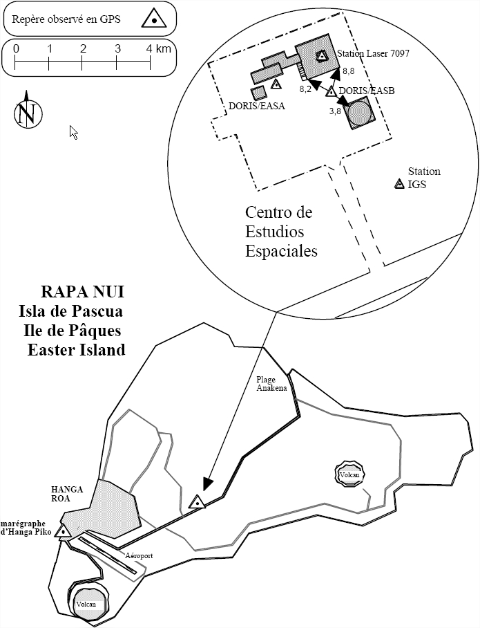
Benchmarks description table
Leveling evolution
| Stand point | EASA | EASA | EASA | EASA | EASB | EASB | EASB | EASB | DORIS/mark1 | DORIS/mark1 | DORIS/mark1 | DORIS/mark2 | DORIS/mark2 | EISL | EISL | ||
|---|---|---|---|---|---|---|---|---|---|---|---|---|---|---|---|---|---|
| End point | EASB | DORIS/mark1 | DORIS/mark2 | EISL | DORIS/mark1 | DORIS/mark2 | EISL | EASB | DORIS/mark2 | EISL | EASB | EISL | EASB | EASB | DORIS/mark2 | ||
| Distance (m) | 14 | 0 | 14 | 53 | 13 | 0 | 40 | 0 | 13 | 53 | 13 | 40 | 0 | 40 | 40 | ||
| Height difference (m) | Campaign 1 | 2001-02-23 | -120.9620 ± 0.01 | -4.2080 ± 0.01 | -4.2440 ± 0.01 | -5.5560 ± 0.01 | -2.4210 ± 0.01 | -2.4570 ± 0.001 | -3.7690 ± 0.01 | -119.1750 ± 0.01 | -0.0360 ± 0.001 | -1.3480 ± 0.01 | -116.7540 ± 0.01 | -1.3120 ± 0.01 | -116.7180 ± 0.01 | -115.4050 ± 0.01 | 1.3120 ± 0.001 |
| Height difference evolution graph |  |  |  |  |  |  |  |  |  |  |  |  |  |  |  | ||
Download leveling data
TIDE GAUGE LOCAL LEVELING NETWORK DATA OF STATION Easter Island
-----------------------------------------------------------------------------------------------------
Benchmark Lat. Long. Height Year of determination St.dev Distance_to_TG
10chr (°) 14chr (°) 14chr (m) 10chr 22chr (m)10chr (m) 10chr
-----------------------------------------------------------------------------------------------------
EASB -27.147919 -109.383544 ---- ---- ---- 60
EASA -27.147860 -109.383664 ---- ---- ---- 80
EISL -27.148209 -109.383295 ---- ---- ---- 30
DORIS/mark-27.147860 -109.383663 ---- ---- ---- 80
DORIS/mark-27.147919 -109.383544 ---- ---- ---- 60
M18A -27.154495 -109.439157 ---- ---- ---- 5610
Co-located instruments
- GPS : Easter Island (EISL)
- GPS : Easter Island (Isla de Pascua) (ISPA)
- Doris : EASTER ISLAND (EASB)
- Tide Gauge : PASCUA ISLAND (EASTE)
- Tide Gauge : EASTER ISLAND-E (EAISE)
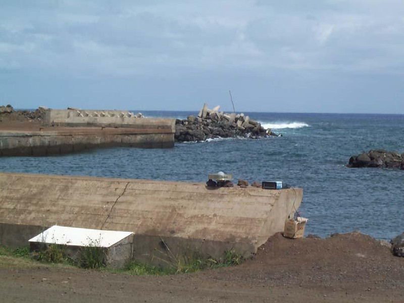
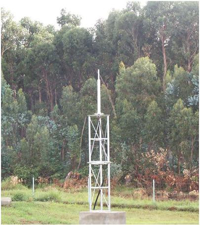
Photo album