LE HAVRE
Station summary


| Responsible organization: | link to REFMAR web page |
| Latitude : | 49.48189926 |
| Longitude : | 0.10599000 |
| Start date: | |
| End date: | |
| Country: | FRANCE |
| City: | LE HAVRE |
| Station state: | VERT |
Mean sea level
Daily means
Monthly means
Annual means
Calculating the mean sea levels
Links to data sources



Comparison with satellite altimetry data
- Link to Sea Level Differences (Satellite altimetry minus tide gauge data).
Co-located instrumentsHAVRE
- GPS : Le Havre - Vigie Ecluse François 1er (FRAN)
- GPS : La Hève Lighthouse (LAHE)
- GPS : Le Havre (LHVE)
Leveling & DatumsHAVRE
Photo albumHAVRE
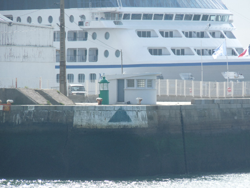
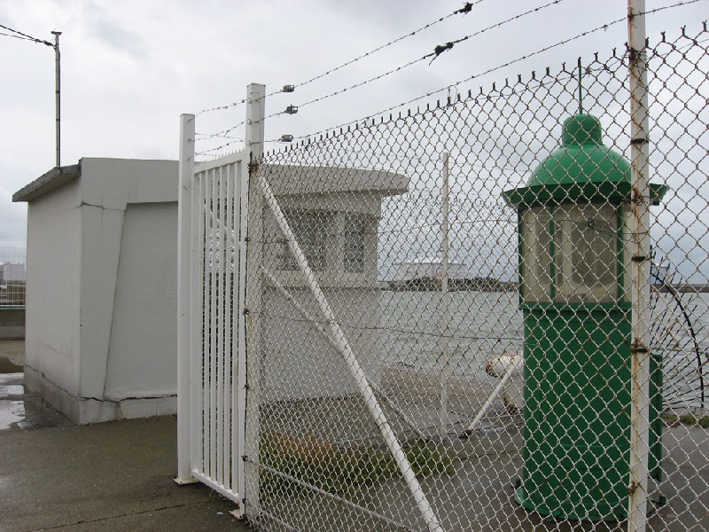
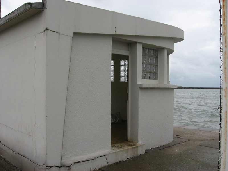
BibliographyHAVRE
If you have a relevant reference to suggest, please send-us an e-mail : sonel@sonel.org-
 Dodet, Bertin et al., 2019. Characterization of Sea-level Variations Along the Metropolitan Coasts of France: Waves, Tides, Storm Surges and Long-term Changes.


Logbook
2021-10-05 (31/05/2022)
Intervention by the SHOM to change the acquisition central of the tide gauge. Before it was an Elta system, now it is a Campbell. Also, installation of the meteorological sensor METSENS500 and a camera MOBOTIX.Le 19/02/2010 (08/04/2010)
Relance du MCN. Archivage des données.le 11/09/2008 (06/04/2010)
Intervention prévue la semaine 42 afin de procéder à la modernisation du marégraphe. En effet la centrale d'acquisition actuelle (MORS) va être remplacée par une centrale ELTA.Le 14/10/2008 : Modernisation du marégraphe. (06/04/2010)
Modernisation du marégraphe. Installation d'un capteur radar BM70 et d'une centrale d'acquisition MARELTA.le 13/10/1993 (06/04/2010)
Installation d'un marégraphe côtier numérique (MCN): capteur ultrason et centrale d'acquisition MORS HT200. Début des mesures le 15/10/1993.Le 26/11/2009 (11/12/2009)
Relance du MCN.Archivage des données à 10 min et HH.
le 05/10/1998 (20/03/2009)
Changement du capteur par un radar Krohne BM70.History of this station
A venir...