
SOLOMON ISLANDS (HONIARA)
Contributing agency

Station summarySOLO


| IGS-type acronym : | SOLO00SLB |
| Latitude : | -9.43492222 |
| Longitude : | 159.95434444 |
| Installed date : | 2008-06-29 |
| Decommissioned date : | |
| Country : | SOLOMON ISLANDS |
| City: | HONIARA |
| Station status : | active (green) |
| Distance to Tide Gauge (m) : | 1200 |
| Domes Nr.: | 51202M001 |
| Station operator: | (GA) - Geoscience Australia |
| IGS-like station form : |
GPS position times seriesSOLO
Position
(Reference epoch: )
(Reference epoch: )
Offsets (mm)
| M | Material change or malfunction |
| E | Earthquake |
| RF | Reference Frame change |
| U | Unknown |
| NA | Not available |
| Position discontinuity | |
| Velocity discontinuity |
Data available at SONELSOLO
Quality plots on RINEX filesSOLO
 |
 |
Plots generated using software developed with the EPN team at ROB |
| Observations & tracking performance | Satellite tracking |
 (this operation may take 20 to 45s)
The satellite tracking graph has been calculated for all stations for the first day of each month. If you wish to have a graph for another date, choose the 'Calculate a specific date' option.
Comparison with satellite altimetry data
- Link to Sea Level Differences (Satellite altimetry minus tide gauge data).
Co-located instrumentsSOLO
- Tide gauge : HONIARA B (SOLTG)
- Tide gauge : HONIARA II (HONI2)
Leveling & DatumsSOLO
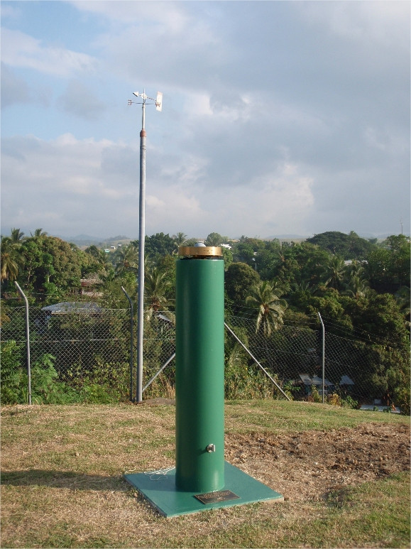
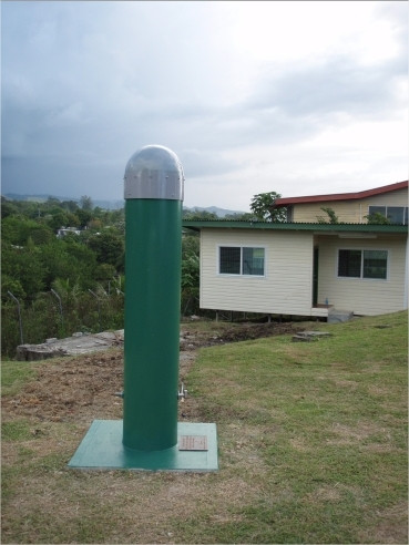
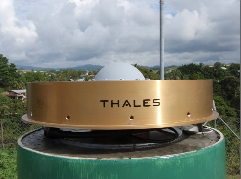
Photo albumSOLO
BibliographySOLO
If you have a relevant reference to suggest, please send-us an e-mail : sonel@sonel.org-
 A.-Martínez-Asensio, G.-Wöppelmann et al., 2019. Relative sea-level rise and the influence of vertical land motion at Tropical Pacific Islands. Global and Planetary Change.


-
Ballu, Gravelle et al., 2019. Vertical land motion in the Southwest and Central Pacific from available GNSS solutions and implications for relative sea levels. Geophysical Journal International.
-
Gharineiat, Deng, 2018. Description and assessment of regional sea-level trends and variability from altimetry and tide gauges at the orthern Australian coast .
-
Taylor, Benyshek et al., 2023. Subduction of Submarine Arc Volcanoes Beneath the Solomon Islands Arc. Geosciences.
-
Zahra-Gharineiat, Xiaoli-Deng, 2018. Description and assessment of regional sea-level trends and variability from altimetry and tide gauges at the northern Australian coast. Advances in Space Research.


