
KEY WEST
Contributing agency

Station summaryFLKW


| IGS-type acronym : | FLKW00USA |
| Latitude : | 24.55369008 |
| Longitude : | -81.75428305 |
| Installed date : | 2014-01-07 |
| Decommissioned date : | |
| Country : | U.S.A. |
| City: | KEY WEST NAVAL AIR STATION |
| Station status : | active (green) |
| Distance to Tide Gauge (m) : | 5426 |
| Domes Nr.: | |
| Station operator: | (FDOT) - Florida Department of Transportation |
| IGS-like station form : |
GPS position times seriesFLKW
Position
(Reference epoch: )
(Reference epoch: )
Offsets (mm)
| M | Material change or malfunction |
| E | Earthquake |
| RF | Reference Frame change |
| U | Unknown |
| NA | Not available |
| Position discontinuity | |
| Velocity discontinuity |
Data available at SONELFLKW
Quality plots on RINEX filesFLKW
 |
 |
Plots generated using software developed with the EPN team at ROB |
| Observations & tracking performance | Satellite tracking |
 (this operation may take 20 to 45s)
The satellite tracking graph has been calculated for all stations for the first day of each month. If you wish to have a graph for another date, choose the 'Calculate a specific date' option.
Comparison with satellite altimetry data
- Link to Sea Level Differences (Satellite altimetry minus tide gauge data).
Co-located instrumentsFLKW
- GPS : Key West 1 (KYW1)
- GPS : Chin Key West (CHIN)
- Tide gauge : KEY WEST (KYWTG)
- GPS : Key West 5 (KYW5)
- GPS : Key West ST (KWST)
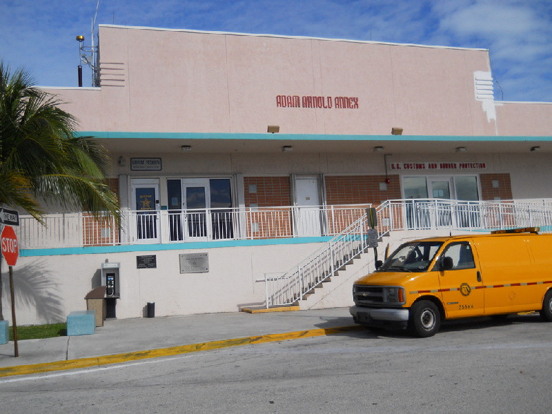
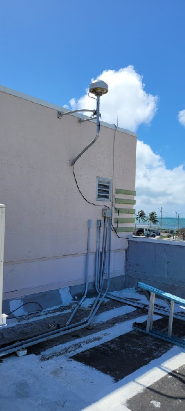
Photo albumFLKW
BibliographyFLKW
If you have a relevant reference to suggest, please send-us an e-mail : sonel@sonel.org-
 Maul, Martin, 1993. Sea level rise at Key West,Florida, 1846-1992: America's longest instrument record?. Geophysical Research Letters.


