
DUNEDIN
Contributing agency

Station summaryOUSD


| IGS-type acronym : | OUSD00NZL |
| Latitude : | -45.86949910 |
| Longitude : | 170.51091710 |
| Installed date : | 1995-01-16 |
| Decommissioned date : | |
| Country : | NEW ZEALAND |
| City: | DUNEDIN |
| Station status : | No data for 30 days (orange) |
| Distance to Tide Gauge (m) : | 1603 |
| Domes Nr.: | 50212M001 |
| Station operator: | (GNS) - GNS Science |
| IGS-like station form : |
GPS position times seriesOUSD
Position
(Reference epoch: )
(Reference epoch: )
Offsets (mm)
| M | Material change or malfunction |
| E | Earthquake |
| RF | Reference Frame change |
| U | Unknown |
| NA | Not available |
| Position discontinuity | |
| Velocity discontinuity |
Data available at SONELOUSD
Quality plots on RINEX filesOUSD
 |
 |
Plots generated using software developed with the EPN team at ROB |
| Observations & tracking performance | Satellite tracking |
 (this operation may take 20 to 45s)
The satellite tracking graph has been calculated for all stations for the first day of each month. If you wish to have a graph for another date, choose the 'Calculate a specific date' option.
Co-located instrumentsOUSD
- GPS : DUNEDIN (OUS2)
- GPS : DUNEDIN (DUNT)
- Tide gauge : PORT CHALMERS (DUNTG)
- GPS : DUNEDIN (DUND)
- Tide gauge : DUNEDIN II (DUTG2)
- Tide gauge : DUNEDIN (DUNED)
Leveling & DatumsOUSD
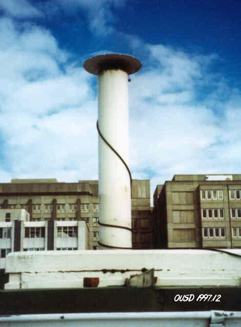
Photo albumOUSD
BibliographyOUSD
If you have a relevant reference to suggest, please send-us an e-mail : sonel@sonel.org-
 Denys, Beavan et al., 2020. Sea Level Rise in New Zealand: The Effect of Vertical Land Motion on Century‐Long Tide Gauge Records in a Tectonically Active Region. Journal of Geophysical Research: Solid Earth.


