FOS-SUR-MER
Station summary


| Responsible organization: | link to REFMAR web page |
| Latitude : | 43.40493500 |
| Longitude : | 4.89293500 |
| Start date: | |
| End date: | |
| Country: | FRANCE |
| City: | FOS SUR MER |
| Station state: | GRIS |
Mean sea level
Daily means
Monthly means
Annual means
Calculating the mean sea levels
Links to data sources



Co-located instrumentsFSMER
- GPS : Domaine de la Palissade (PALI)
Leveling & DatumsFSMER
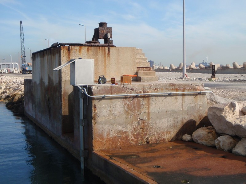
Photo albumFSMER
BibliographyFSMER
If you have a relevant reference to suggest, please send-us an e-mail : sonel@sonel.org-
 Dodet, Bertin et al., 2019. Characterization of Sea-level Variations Along the Metropolitan Coasts of France: Waves, Tides, Storm Surges and Long-term Changes.


Logbook
[DATA.SHOM] 2023-09-29 (20/12/2024)
The tide gauge was decommissioned and moved to the new Port de Bouc observatory. Name of the new station : PBOUCHistory of this station
The tide gauge was decommissioned and moved to the new Port de Bouc observatory. Name of the new station : PBOUC