SAINTE-HELENE
Station summaryRTOW


| IGS-type acronym : | RTOW00SHN |
| Latitude : | -15.92981900 |
| Longitude : | -5.71881000 |
| Installed date : | 2017-01-01 |
| Decommissioned date : | |
| Country : | UK |
| City: | SAINTE HELENE |
| Station status : | No data for 30 days (orange) |
| Distance to Tide Gauge (m) : | 1001 |
| Domes Nr.: | |
| Station operator: | Unknown |
| IGS-like station form : |
Data available at SONELRTOW
Quality plots on RINEX filesRTOW
 |
 |
Plots generated using software developed with the EPN team at ROB |
| Observations & tracking performance | Satellite tracking |
 (this operation may take 20 to 45s)
The satellite tracking graph has been calculated for all stations for the first day of each month. If you wish to have a graph for another date, choose the 'Calculate a specific date' option.
Co-located instrumentsRTOW
- Doris : ST HELENA (HEMB)
- Tide gauge : JAMESTOWN LANDING STEPS (SHELE)
- GPS : Saint Helena (STHL)
- Tide gauge : Rupert's Bay (STHRB)
- GPS : Jameston (SHTA)
Leveling & DatumsRTOW
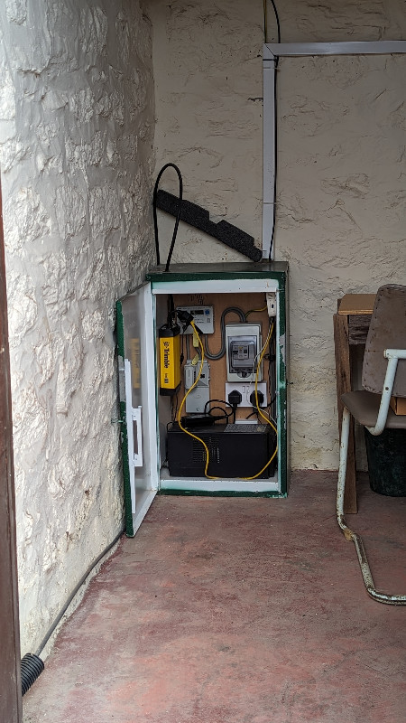
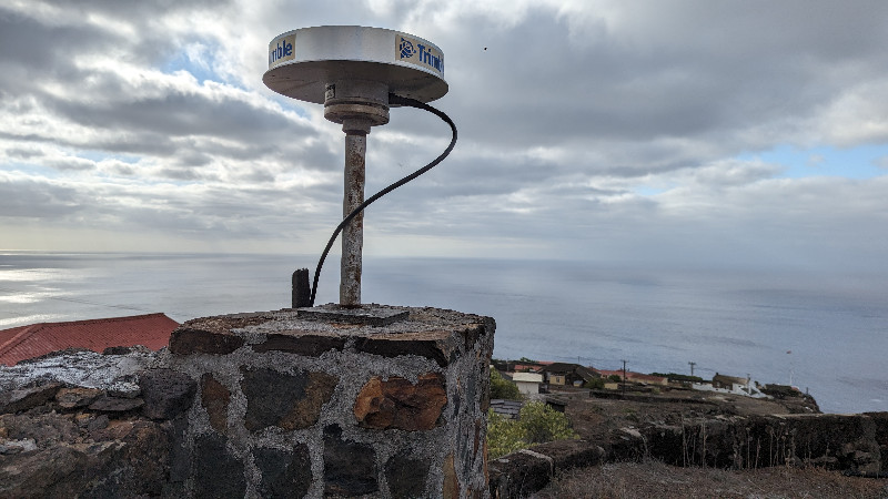
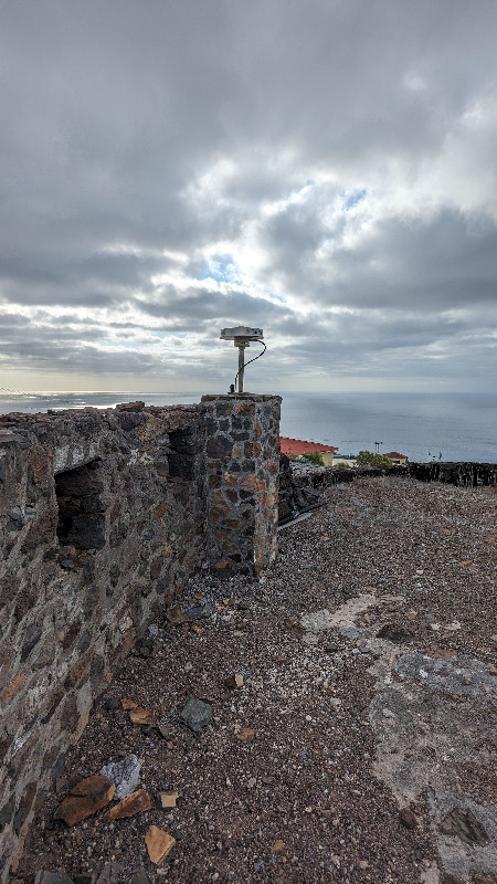
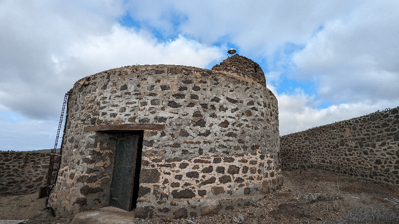
Photo albumRTOW
_1_4687.jpg)