
FARADAY BASE
Contributing agency

Station summaryVNAD


| IGS-type acronym : | VNAD00ATA |
| Latitude : | -65.24600000 |
| Longitude : | -64.25416944 |
| Installed date : | 2009-04-01 |
| Decommissioned date : | 2017-02-18 |
| Country : | UK |
| City: | FARADAY BASE |
| Station status : | Decommissioned (white and red cross) |
| Distance to Tide Gauge (m) : | 733 |
| Domes Nr.: | 66038M002 |
| Station operator: | (UNAVCO) - UNAVCO |
| IGS-like station form : |
GPS position times seriesVNAD
Position
(Reference epoch: )
(Reference epoch: )
Offsets (mm)
| M | Material change or malfunction |
| E | Earthquake |
| RF | Reference Frame change |
| U | Unknown |
| NA | Not available |
| Position discontinuity | |
| Velocity discontinuity |
Data available at SONELVNAD
Quality plots on RINEX filesVNAD
 |
 |
Plots generated using software developed with the EPN team at ROB |
| Observations & tracking performance | Satellite tracking |
 (this operation may take 20 to 45s)
The satellite tracking graph has been calculated for all stations for the first day of each month. If you wish to have a graph for another date, choose the 'Calculate a specific date' option.
Comparison with satellite altimetry data
- Link to Sea Level Differences (Satellite altimetry minus tide gauge data).
Co-located instrumentsVNAD
- Tide gauge : Faraday, Argentine Islands (VNATG)
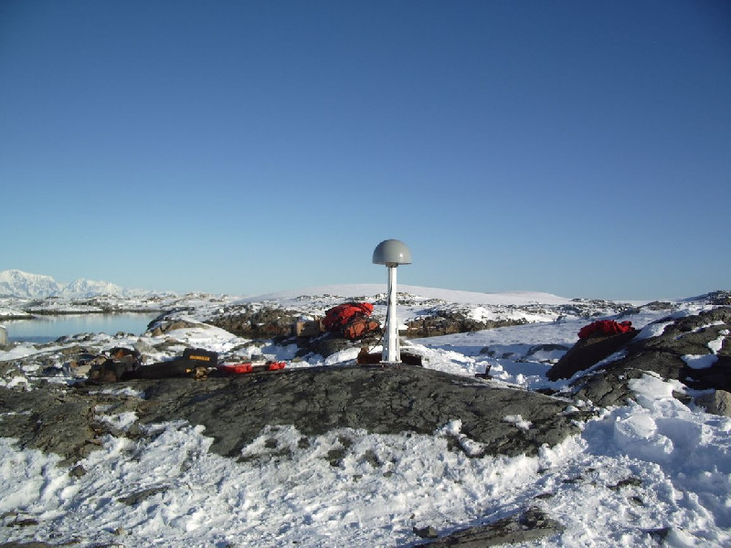
Photo albumVNAD
BibliographyVNAD
If you have a relevant reference to suggest, please send-us an e-mail : sonel@sonel.org-
 Nield, Barletta et al., 2014. Rapid bedrock uplift in the Antarctic Peninsula explained by viscoelastic response to recent ice unloading. Earth and Planetary Science Letters.


-
Woodworth, Hibbert, 2015. Sea-level monitoring in the British verseas Territories. Journal of Operational Oceanography.


