
PORT BLAIR
Contributing agency

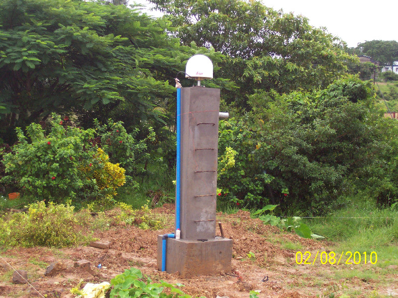
Station summaryPBR2


| IGS-type acronym : | PBR200IND |
| Latitude : | 11.63780589 |
| Longitude : | 92.71224546 |
| Installed date : | 2010-08-02 |
| Decommissioned date : | |
| Country : | INDIA |
| City: | PORT BLAIR |
| Station status : | No data for 30 days (orange) |
| Distance to Tide Gauge (m) : | 7803 |
| Domes Nr.: | 22308M002 |
| Station operator: | (ISTRAC-ISRO) - Indian Space Research Organisation - Telemetry Tracking and Command Network |
| IGS-like station form : |
GPS position times seriesPBR2
(Reference epoch: )
| M | Material change or malfunction |
| E | Earthquake |
| RF | Reference Frame change |
| U | Unknown |
| NA | Not available |
| Position discontinuity | |
| Velocity discontinuity |
Data available at SONELPBR2
Quality plots on RINEX filesPBR2
 |
 |
Plots generated using software developed with the EPN team at ROB |
| Observations & tracking performance | Satellite tracking |
 (this operation may take 20 to 45s)
The satellite tracking graph has been calculated for all stations for the first day of each month. If you wish to have a graph for another date, choose the 'Calculate a specific date' option.
Co-located instrumentsPBR2
- GPS : PORT BLAIR (PBRI)
- Tide gauge : PORT BLAIR (BLATG)
- GPS : Port Blair (CARI)
- GPS : Port Blair (PBR4)
Photo albumPBR2
Log bookPBR2
[IGSMAIL-7254] - 2016-02-23 (24/02/2016)
Due to the new building construction activity close to the PBR2 monument, the IGS station PBR2 will be brought down from 25th Feb 2016. We are in the process of relocating the PBR2 monument to a different location. Hence, the data from PBR2 station will not be published hereafter.
We will be bringing up another monument with in few tens of meters away from the current location of PBR2 monument and will get through the necessary approvals from IGS CB for the new station code and Dome number etc, before start publishing data, by 30th April 2016.


