
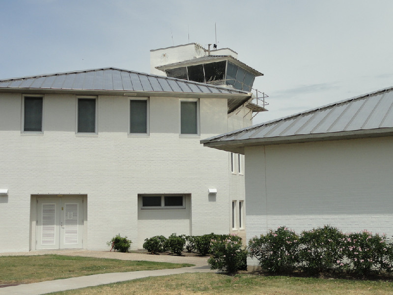
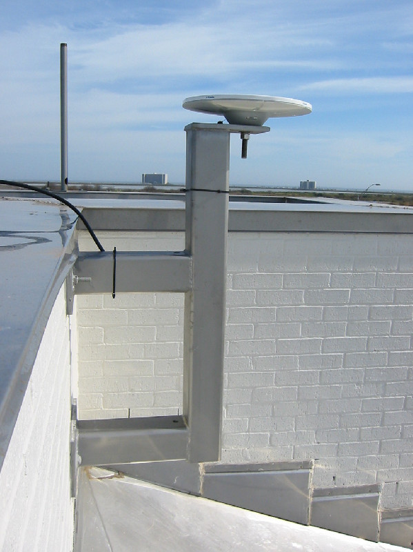
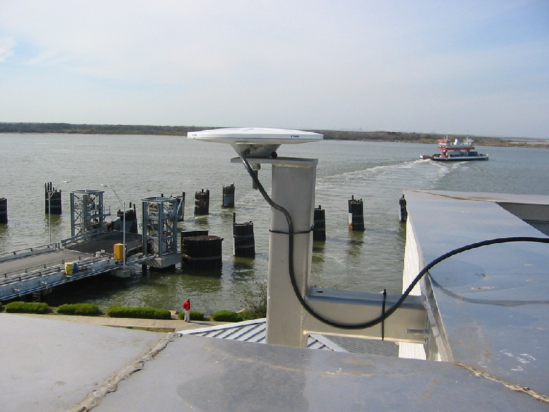
GALVESTON
Contributing agency

Station summaryTXGA


| IGS-type acronym : | TXGA00USA |
| Latitude : | 29.32786700 |
| Longitude : | -94.77263600 |
| Installed date : | 2005-01-01 |
| Decommissioned date : | |
| Country : | U.S.A. |
| City: | GALVESTON |
| Station status : | active (green) |
| Distance to Tide Gauge (m) : | 2856 |
| Domes Nr.: | 49872M001 |
| Station operator: | (TxDOT) - Texas Department of Transportation |
| IGS-like station form : |
GPS position times seriesTXGA
Position
(Reference epoch: )
(Reference epoch: )
Offsets (mm)
| M | Material change or malfunction |
| E | Earthquake |
| RF | Reference Frame change |
| U | Unknown |
| NA | Not available |
| Position discontinuity | |
| Velocity discontinuity |
Data available at SONELTXGA
Quality plots on RINEX filesTXGA
 |
 |
Plots generated using software developed with the EPN team at ROB |
| Observations & tracking performance | Satellite tracking |
 (this operation may take 20 to 45s)
The satellite tracking graph has been calculated for all stations for the first day of each month. If you wish to have a graph for another date, choose the 'Calculate a specific date' option.
Comparison with satellite altimetry data
- Link to Sea Level Differences (Satellite altimetry minus tide gauge data).
Co-located instrumentsTXGA
- GPS : Galveston 1 (GAL1)
- GPS : Galveston (TXGV)
- Tide gauge : GALVESTON Pier 21 (G21TG)
- Tide gauge : GALVESTON Pleasure Pier (GPPTG)
- GPS : Galveston Pier 21 (N301)
- GPS : TXNJ North Jetty (TXNJ)
Leveling & DatumsTXGA
Photo albumTXGA
BibliographyTXGA
If you have a relevant reference to suggest, please send-us an e-mail : sonel@sonel.org-
 Blum, Rahn et al., 2023. Land loss in the Mississippi River Delta: Role of subsidence, global sea-level rise, and coupled atmospheric and oceanographic processes. Global and Planetary Change.


-
Kolker, Allison et al., 2011. An evaluation of subsidence rates and sea‐level variability in the northern Gulf of Mexico. Geophysical Research Letters.
-
Liu, Li et al., 2019. Groundwater Level Change Management on Control of Land Subsidence Supported by Borehole Extensometer Compaction Measurements in the Houston-Galveston Region, Texas. Geosciences.
-
Liu, Li et al., 2020. Land subsidence contributions to relative sea level rise at tide gauge Galveston Pier 21, Texas. Scientific Reports.
-
Qu, Lu et al., 2015. Mapping ground deformation over Houston–Galveston, Texas using multi-temporal InSAR. Remote Sensing of Environment.
History of the stationTXGA
Remplace TXGV et GAL1


