
DUNKERQUE
Station summaryDGLG


| IGS-type acronym : | DGLG00FRA |
| Latitude : | 50.99365000 |
| Longitude : | 2.34474800 |
| Installed date : | 2003-01-01 |
| Decommissioned date : | |
| Country : | FRANCE |
| City: | DUNKERQUE |
| Station status : | active (green) |
| Distance to Tide Gauge (m) : | 6252 |
| Domes Nr.: | 10017M002 |
| Station operator: | Unknown |
| IGS-like station form : |
GPS position times seriesDGLG
Position
(Reference epoch: )
(Reference epoch: )
Offsets (mm)
| M | Material change or malfunction |
| E | Earthquake |
| RF | Reference Frame change |
| U | Unknown |
| NA | Not available |
| Position discontinuity | |
| Velocity discontinuity |
Data available at SONELDGLG
Quality plots on RINEX filesDGLG
 |
 |
Plots generated using software developed with the EPN team at ROB |
| Observations & tracking performance | Satellite tracking |
 (this operation may take 20 to 45s)
The satellite tracking graph has been calculated for all stations for the first day of each month. If you wish to have a graph for another date, choose the 'Calculate a specific date' option.
Co-located instrumentsDGLG
- Tide gauge : DUNKERQUE (DUNKE)
- GPS : Coudekerque-Branche (COUD)
- GPS : Dunkerque (DUNQ)
Leveling & DatumsDGLG
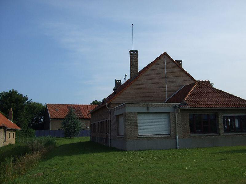
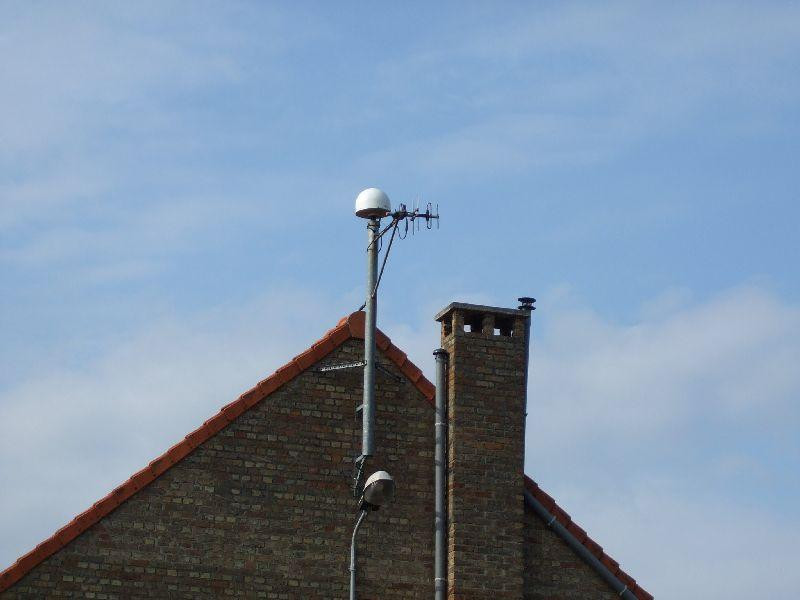
Photo albumDGLG
Log bookDGLG
[RGPmail] - 2018-03-08 (08/03/2018)
The data for DGLG station (France, 59) are available again since session 066f.
[RGPmail] - 2018-03-08 (08/03/2018)
The dataflow for DGLG station (France, 59) stopped at session 063m. The delay to recover it is unknown


