
AJACCIO
Contributing agency

Station summaryCAMP


| IGS-type acronym : | CAMP00FRA |
| Latitude : | 41.91824000 |
| Longitude : | 8.79076700 |
| Installed date : | 2010-07-16 |
| Decommissioned date : | |
| Country : | FRANCE |
| City: | AJACCIO |
| Station status : | active (green) |
| Distance to Tide Gauge (m) : | 2357 |
| Domes Nr.: | 19916M001 |
| Station operator: | (ACTIPLAN) - ACTIPLAN SARL |
| IGS-like station form : |
GPS position times seriesCAMP
Position
(Reference epoch: )
(Reference epoch: )
Offsets (mm)
| M | Material change or malfunction |
| E | Earthquake |
| RF | Reference Frame change |
| U | Unknown |
| NA | Not available |
| Position discontinuity | |
| Velocity discontinuity |
Data available at SONELCAMP
Quality plots on RINEX filesCAMP
 |
 |
Plots generated using software developed with the EPN team at ROB |
| Observations & tracking performance | Satellite tracking |
 (this operation may take 20 to 45s)
The satellite tracking graph has been calculated for all stations for the first day of each month. If you wish to have a graph for another date, choose the 'Calculate a specific date' option.
Leveling & DatumsCAMP
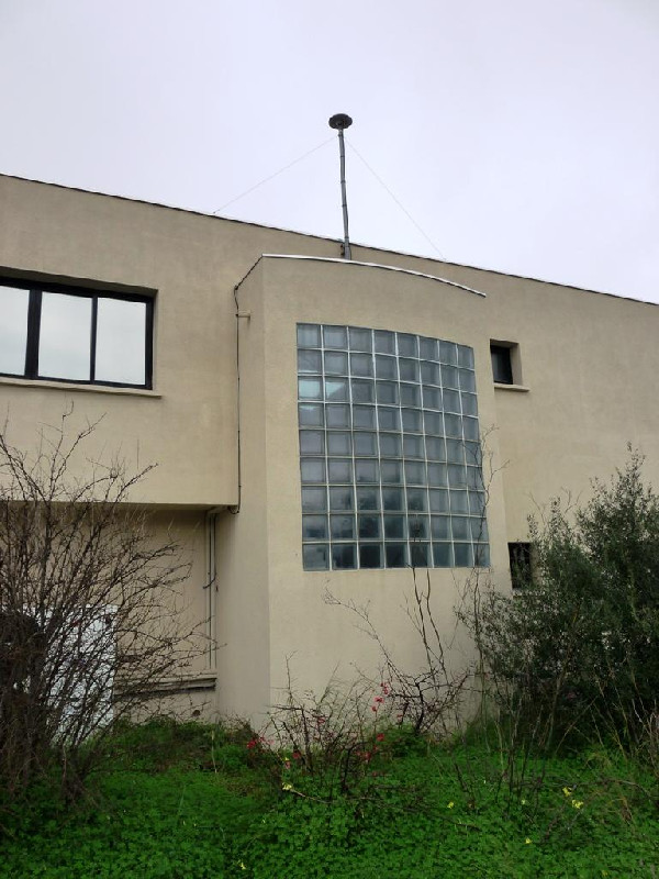
Photo albumCAMP
Log bookCAMP
[RGPmail] - 2020-04-15 (15/05/2020)
Les données de ces stations GNSS sont de nouveau disponibles à partir des sessions 105h pour CAMP (2A, Corse) et 100k pour MSRT (19, Corrèze).
Les données manquantes ne pourront pas être récupérées.
[RGPmail] - 2019-06-03 (11/06/2019)
Les données des stations GNSS du réseau ACTIPLAN ne nous parviennent plus depuis les sessions 145u.
Nous ne connaissons pas le délai de retour à la normale.


