
NEWCASTLE
Contributing agency

Station summaryNEWE

GNSS-IR


| IGS-type acronym : | NEWE00AUS |
| Latitude : | -32.92397650 |
| Longitude : | 151.78874380 |
| Installed date : | 2012-06-26 |
| Decommissioned date : | |
| Country : | AUSTRALIA |
| City: | NEWCASTLE |
| Station status : | active (green) |
| Distance to Tide Gauge (m) : | 15 |
| Domes Nr.: | AUM000268 |
| Station operator: | (NSW-SS) - NSW Spatial Services |
| IGS-like station form : |
GPS position times seriesNEWE
Position
(Reference epoch: )
(Reference epoch: )
Offsets (mm)
| M | Material change or malfunction |
| E | Earthquake |
| RF | Reference Frame change |
| U | Unknown |
| NA | Not available |
| Position discontinuity | |
| Velocity discontinuity |
Data available at SONELNEWE
Quality plots on RINEX filesNEWE
 |
 |
Plots generated using software developed with the EPN team at ROB |
| Observations & tracking performance | Satellite tracking |
 (this operation may take 20 to 45s)
The satellite tracking graph has been calculated for all stations for the first day of each month. If you wish to have a graph for another date, choose the 'Calculate a specific date' option.
Comparison with satellite altimetry data
- Link to Sea Level Differences (Satellite altimetry minus tide gauge data).
Co-located instrumentsNEWE
- Tide gauge : NEWCASTLE V (NWCTG)
- Tide gauge : NEWCASTLE III (NEWCA)
- GPS : Newcastle (NWCS)
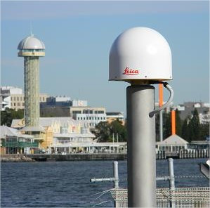
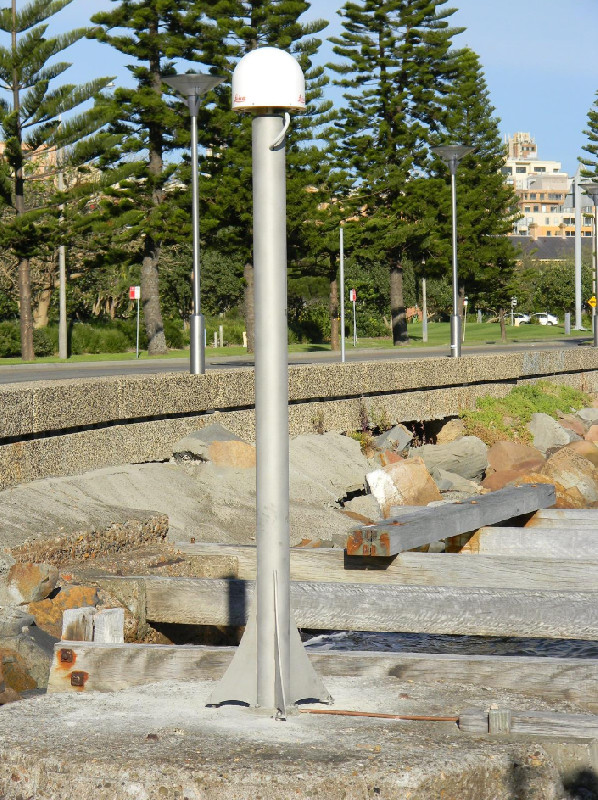
Photo albumNEWE
BibliographyNEWE
If you have a relevant reference to suggest, please send-us an e-mail : sonel@sonel.org-
 Watson, 2011. Is There Evidence Yet of Acceleration in Mean Sea Level Rise around Mainland Australia?. Journal of Coastal Research.


