ANCHORAGE
Contributing agency

Station summaryANC2


| IGS-type acronym : | ANC200USA |
| Latitude : | 61.17522500 |
| Longitude : | -149.98344167 |
| Installed date : | 2009-07-29 |
| Decommissioned date : | |
| Country : | U.S.A. |
| City: | ANCHORAGE |
| Station status : | active (green) |
| Distance to Tide Gauge (m) : | 7835 |
| Domes Nr.: | 49268M001 |
| Station operator: | (AK-DOT) - State of Alaska, Department of Transportation Central Region Survey Section |
| IGS-like station form : |
GPS position times seriesANC2
Position
(Reference epoch: )
(Reference epoch: )
Offsets (mm)
| M | Material change or malfunction |
| E | Earthquake |
| RF | Reference Frame change |
| U | Unknown |
| NA | Not available |
| Position discontinuity | |
| Velocity discontinuity |
Data available at SONELANC2
Quality plots on RINEX filesANC2
 |
 |
Plots generated using software developed with the EPN team at ROB |
| Observations & tracking performance | Satellite tracking |
 (this operation may take 20 to 45s)
The satellite tracking graph has been calculated for all stations for the first day of each month. If you wish to have a graph for another date, choose the 'Calculate a specific date' option.
Comparison with satellite altimetry data
- Link to Sea Level Differences (Satellite altimetry minus tide gauge data).
Co-located instrumentsANC2
- GPS : ANCHORAGE (TSEA)
- Tide gauge : ANCHORAGE (TSETG)
- GPS : Anchorage AK DOT (TBON)
- GPS : Anchorage WAAS 1 (ZAN1)
- GPS : ANCHORAGE (PMKZ)
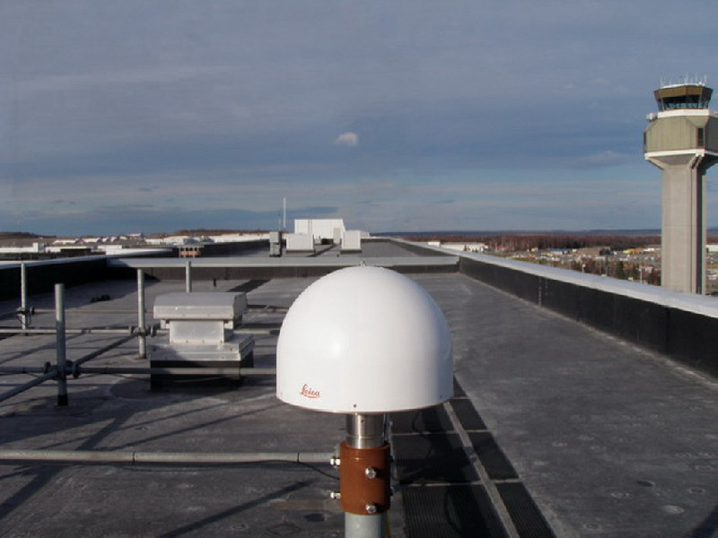
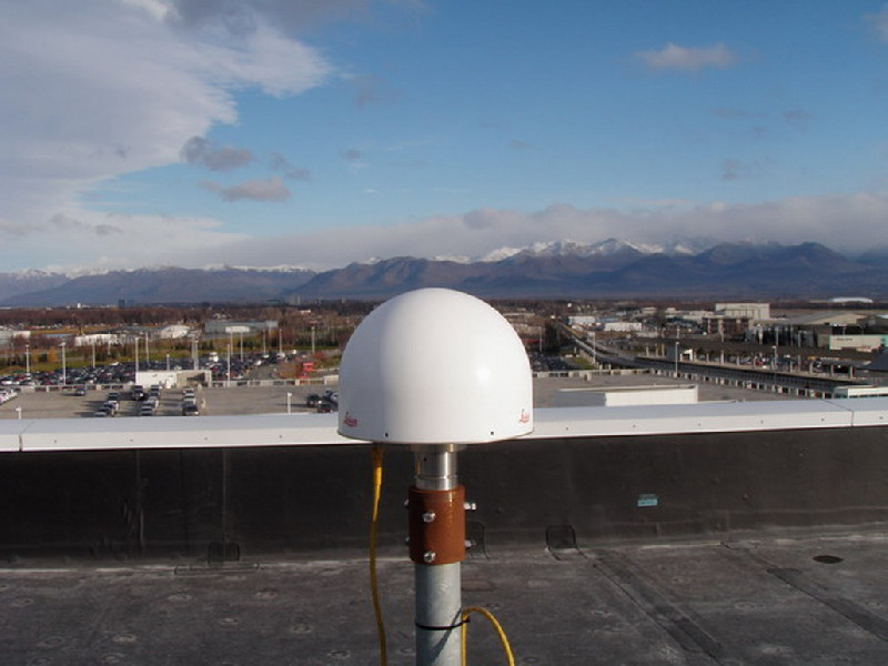
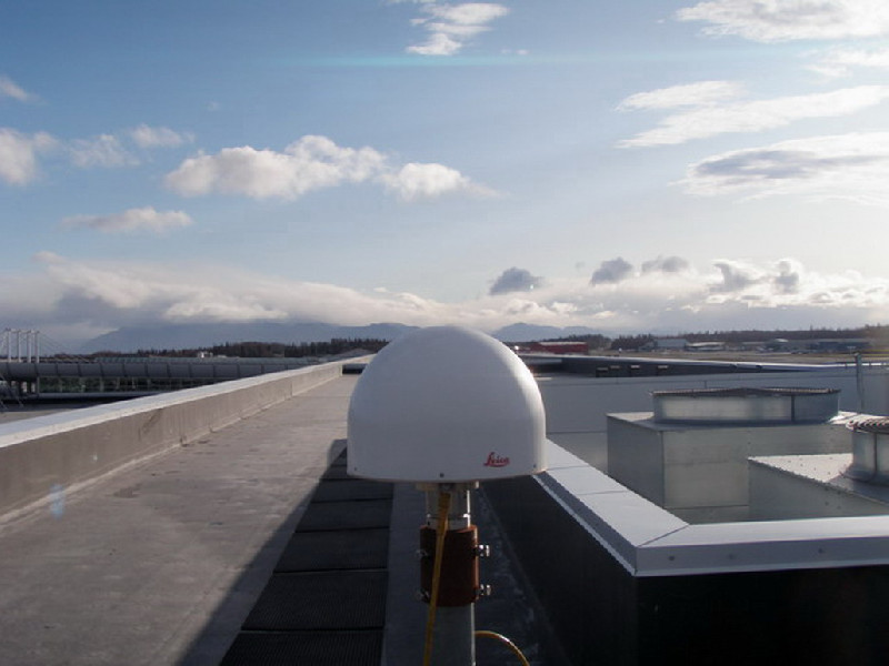
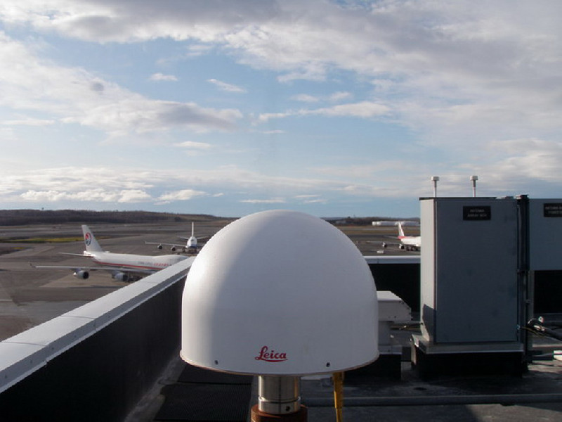
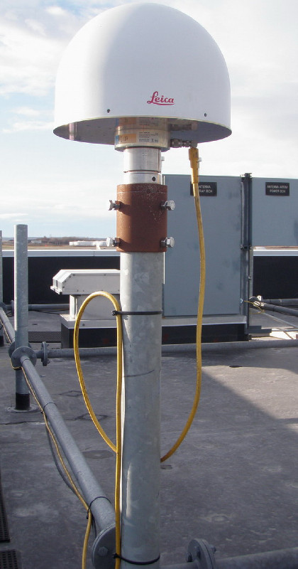
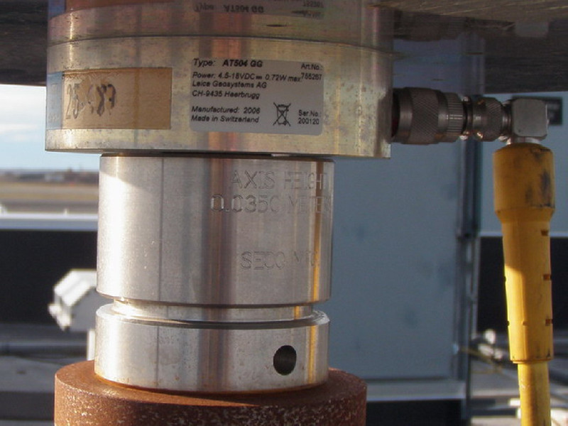
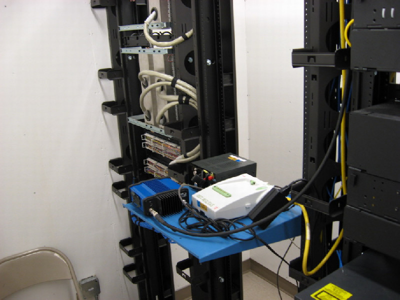
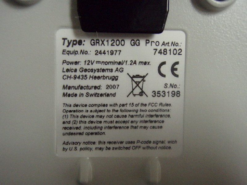
Photo albumANC2