
ASCENSION ISLAND
Contributing agency

Station summaryASC1


| IGS-type acronym : | ASC100SHN |
| Latitude : | -7.95121359 |
| Longitude : | -14.41207238 |
| Installed date : | 1996-04-20 |
| Decommissioned date : | 2010-10-10 |
| Country : | UK |
| City: | ASCENSION ISLAND |
| Station status : | Decommissioned (white and red cross) |
| Distance to Tide Gauge (m) : | 3880 |
| Domes Nr.: | 30602M001 |
| Station operator: | (JPL) - Jet Propulsion Laboratory |
| IGS-like station form : |
GPS position times seriesASC1
Position
(Reference epoch: )
(Reference epoch: )
Offsets (mm)
| M | Material change or malfunction |
| E | Earthquake |
| RF | Reference Frame change |
| U | Unknown |
| NA | Not available |
| Position discontinuity | |
| Velocity discontinuity |
Data available at SONELASC1
Quality plots on RINEX filesASC1
 |
 |
Plots generated using software developed with the EPN team at ROB |
| Observations & tracking performance | Satellite tracking |
 (this operation may take 20 to 45s)
The satellite tracking graph has been calculated for all stations for the first day of each month. If you wish to have a graph for another date, choose the 'Calculate a specific date' option.
Co-located instrumentsASC1
- Doris : ASCENSION (ASEB)
- Tide gauge : ENGLISH BAY (ASCEN)
- GPS : ASCENSION (ASCG)
Leveling & DatumsASC1
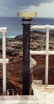
Photo albumASC1
BibliographyASC1
If you have a relevant reference to suggest, please send-us an e-mail : sonel@sonel.org-
 DONAL, 2016. Ascension ITRF co-location site survey. Rapport Technique IGN/SGN, RT/G.

-
Woodworth, Foden et al., 2012. Sea level changes at Ascension Island in the last half century. African Journal of Marine Science.
-
Woodworth, Hibbert, 2015. Sea-level monitoring in the British verseas Territories. Journal of Operational Oceanography.


