
RANGIROA
Station summary


| Responsible organization: | link to REFMAR web page |
| Latitude : | -14.94581200 |
| Longitude : | -147.70604500 |
| Start date: | 2009-02-26 |
| End date: | |
| GLOSS Nr.: | 355 |
| Country: | FRANCE |
| City: | RANGIROA |
| Station state: | VERT |
Mean sea level
Daily means
Monthly means
Annual means
Calculating the mean sea levels
Links to data sources

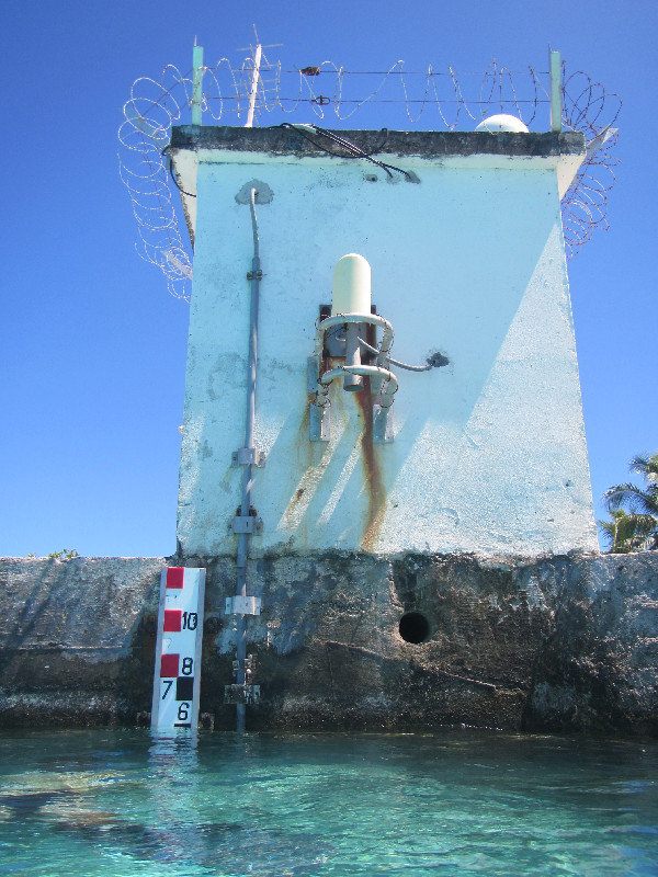
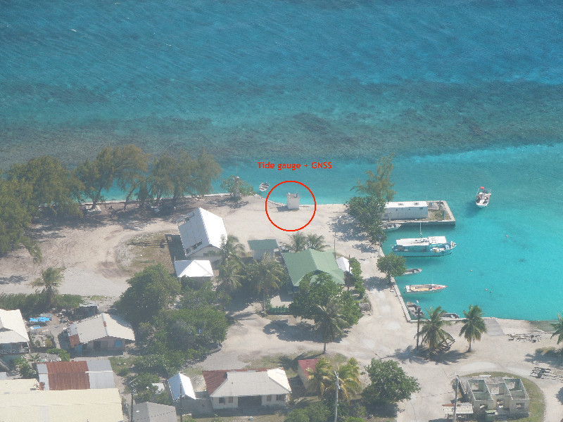
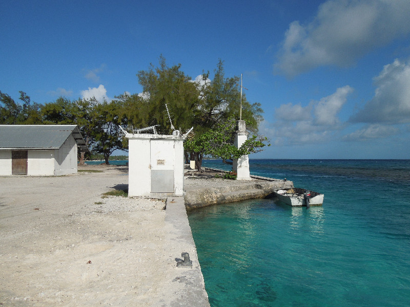
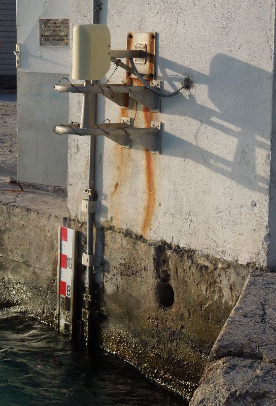
Co-located instrumentsRANGI
- GPS : RANGIROA (RGTG)
Leveling & DatumsRANGI
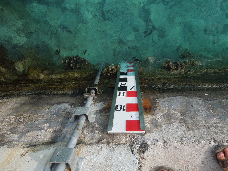
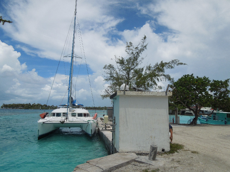
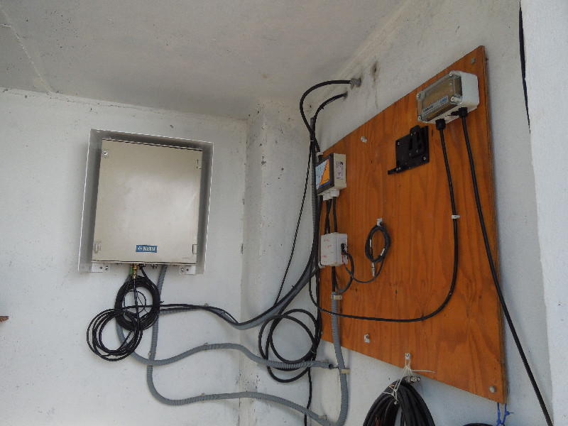
Photo albumRANGI
BibliographyRANGI
If you have a relevant reference to suggest, please send-us an e-mail : sonel@sonel.org-
 A.-Martínez-Asensio, G.-Wöppelmann et al., 2019. Relative sea-level rise and the influence of vertical land motion at Tropical Pacific Islands. Global and Planetary Change.


-
Lannuzel, 2011. Réseau de marégraphes dans le Pacifique. Annales Hydrographiques.
-
SHOM, 2023. Réinstallation du MCN de Rangiroa. No. 014/Shom/GOP/BHPF/NP.
-
Xianjie-Li, Jean-Pierre-Barriot et al., 2023. Monitoring absolute vertical land motions and absolute sea-level changes from GPS and tide gauges data over French Polynesia. Geodesy and Geodynamics.
Logbook
2021-02-23 (19/05/2021)
A Shom mission took place at Rangiroa from 23 to 26 of Februray 2021. TG and GNSS station have been totally removed prior to renovation work at Avatoru Harbour. E.Poirier.History of this station
Removed the 25th of Februrary 2021 due to Avatoru harbour restoration work.


