
ROVINJ
Station summary


Links to data sources

Comparison with satellite altimetry data
- Link to Sea Level Differences (Satellite altimetry minus tide gauge data).
Co-located instrumentsROVTG
- GPS : POREC (PORE)
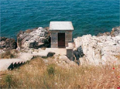
Photo albumROVTG
BibliographyROVTG
If you have a relevant reference to suggest, please send-us an e-mail : sonel@sonel.org-
 De-Biasio, Baldin et al., 2020. Revisiting Vertical Land Motion and Sea Level Trends in the Northeastern Adriatic Sea Using Satellite Altimetry and Tide Gauge Data. Journal of Marine Science and Engineering.


-
Pajak, Kowalczyk et al., 2021. Studying the Sensitivity of Satellite Altimetry, Tide Gauge and GNSS Observations to Changes in Vertical Displacements. Geomatics and Environmental Engineering.
-
Vignudelli, De-Biasio, 2021. Coastal Sea Level Trends from a Joint Use of Satellite Radar Altimetry, GPS and Tide Gauges: Case Study of the Northern Adriatic Sea. Geodetic Sciences - Theory, Applications and Recent Developments.


