LEVELING OF FUERTEVENTURA
Benchmarks description table
Benchmarks vertical positionning diagram
Reference:
Leveling evolution


Download leveling data
TIDE GAUGE LOCAL LEVELING NETWORK DATA OF STATION La Oliva
-----------------------------------------------------------------------------------------------------
Benchmark Lat. Long. Height Year of determination St.dev Distance_to_TG
10chr (°) 14chr (°) 14chr (m) 10chr 22chr (m)10chr (m) 10chr
-----------------------------------------------------------------------------------------------------
NGAB Mareo ---- ---- 2.776 2014 0.00100 ----
SS Pozo ---- ---- 2.792 2014 0.00100 ----
NGU 712 ---- ---- 23.428 2014 0.00000 ----
FUER ---- ---- 31.956 2014 0.00100 ----
Co-located instruments
- Tide Gauge : FUERTEVENTURA (OLITG)
- GPS : La Oliva (OLIV)
- GPS : Fuerteventura (FUER)
- Tide Gauge : Puerto del Rosario (FUER1)
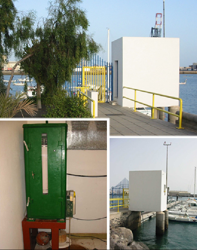
Photo album