
ILE ROYALE
Contributing agency


Station summaryIROY


| IGS-type acronym : | IROY00GUF |
| Latitude : | 5.28467713 |
| Longitude : | -52.58675203 |
| Installed date : | 2022-05-18 |
| Decommissioned date : | |
| Country : | FRANCE |
| City: | ILE ROYALE |
| Station status : | active (green) |
| Distance to Tide Gauge (m) : | 2 |
| Domes Nr.: | 97309M002 |
| Station operator: | (DM-GUYANE) - Service des Phares et Balises de Guyane (IGN) - Institut National de l'Information Géographique et Forestière |
| IGS-like station form : |
Data available at SONELIROY
Quality plots on RINEX filesIROY
 |
 |
Plots generated using software developed with the EPN team at ROB |
| Observations & tracking performance | Satellite tracking |
 (this operation may take 20 to 45s)
The satellite tracking graph has been calculated for all stations for the first day of each month. If you wish to have a graph for another date, choose the 'Calculate a specific date' option.
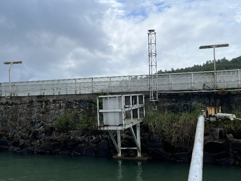
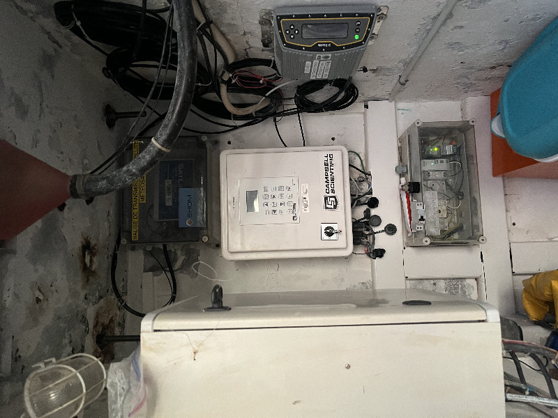
Co-located instrumentsIROY
- Tide gauge : ILE ROYALE (ROYAL)
- Tide gauge : ILE ROYALE - ANSE LEGOFF (LEGOF)
- GPS : Ile Royale (IRYL)
Leveling & DatumsIROY
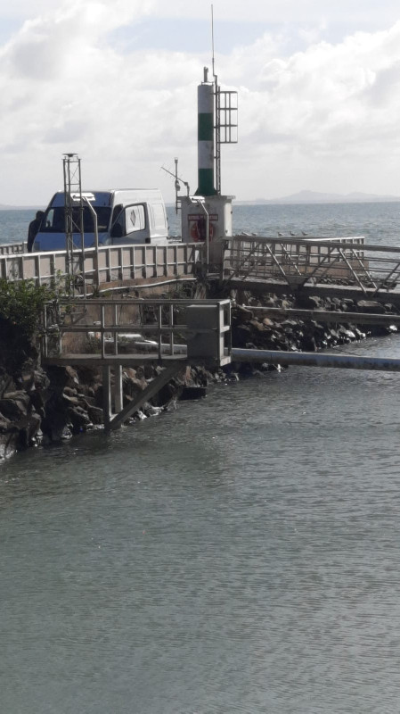
Photo albumIROY
BibliographyIROY
If you have a relevant reference to suggest, please send-us an e-mail : sonel@sonel.org-
 DONAL, 2024. Rénovation de la station GNSS de l’île Royale Guyane, mai 2022. Compte rendu IGN, DT 60082 8730.
-
Thiéblemont, Le-Cozannet et al., 2023. Chronic flooding events due to sea-level rise in French Guiana. Scientific Reports.


History of the stationIROY
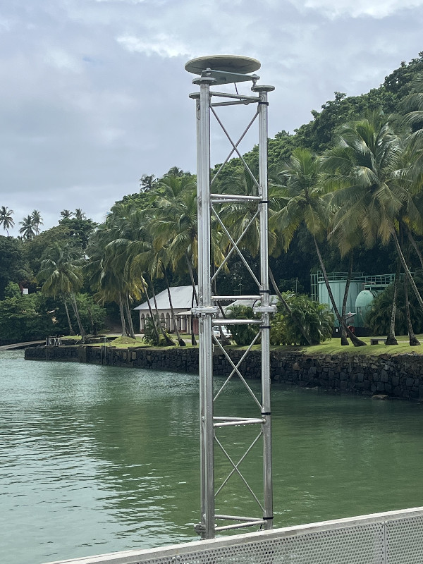
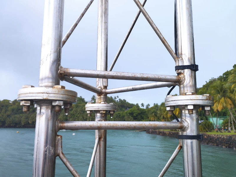
Cette nouvelle station IROY succède à IRYL suite au remplacement du mât en inox support de l’antenne GNSS par une équipe de l'IGN.
Log bookIROY
[SHOMmail] 2024-10-10 (04/11/2024)
No data and no communication with the station.
October 15, 2024 : Unsuccessful intervention by the Hydrographic surveyor of Phares et Balises.
October 31 , 2024 : The Phares et Balises informs us that they have change 4G operator. The router must be changed by the SHOM people.
Waiting for news from SHOM
[RGPmail] 2024-08-11 (04/11/2024)
No data and no communication with the station.
Hydrographic surveyor of Phares et Balises had done an intervention.
August 20 , 2024 : the station is operating again. Data loss during the cut.
2024-04-04 (04/11/2024)
No data and no communication with the station.
Hydrographic surveyor of Phares et Balises investigated and found that the general circuit breaker at the start of the quay was cut. They turned it back ON and the station was powered up again.
April 09 , 2024 : the station is operating again. No data loss!


