
DUNKERQUE
Contributing agency


Station summary


| Responsible organization: | link to REFMAR web page |
| Latitude : | 51.04809100 |
| Longitude : | 2.36669800 |
| Start date: | 1956-06-06 |
| End date: | |
| Country: | FRANCE |
| City: | DUNKERQUE |
| Sensor type: | Accoustique |
| Station state: | VERT |
Mean sea level
Daily means
Monthly means
Annual means
Calculating the mean sea levels
Links to data sources

Co-located instrumentsDUNKE
- GPS : Coudekerque-Branche (COUD)
- GPS : Dunkerque Grand Littoral Géomatique (DGLG)
- GPS : Dunkerque (DUNQ)
- GPS : Coudekerque-Branche (COU2)
Leveling & DatumsDUNKE
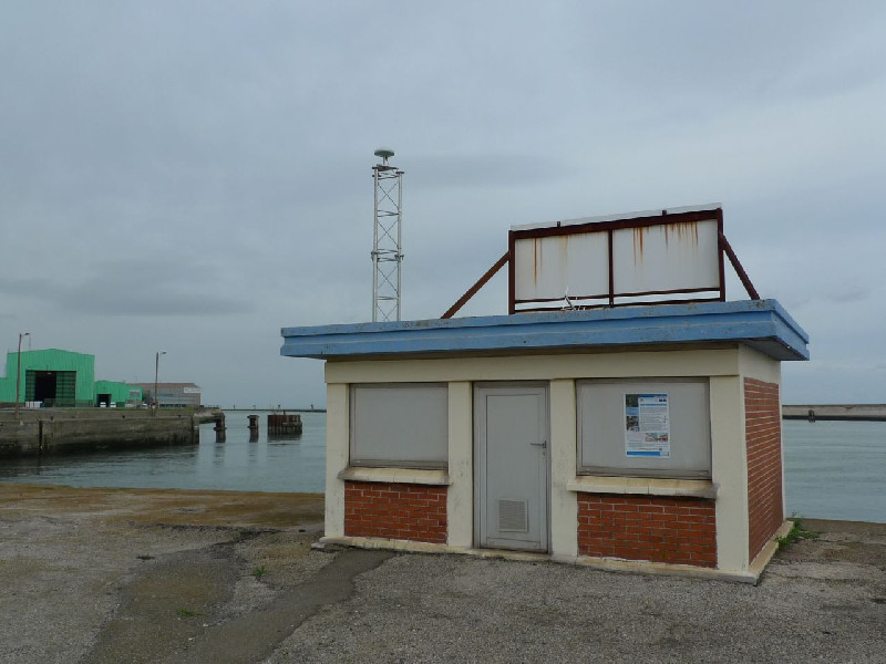
Photo albumDUNKE
BibliographyDUNKE
If you have a relevant reference to suggest, please send-us an e-mail : sonel@sonel.org-
 Coulomb, 2014. Travaux réalisés en métropole en 2013 dans le cadre de la convention SONEL.
-
Dodet, Bertin et al., 2019. Characterization of Sea-level Variations Along the Metropolitan Coasts of France: Waves, Tides, Storm Surges and Long-term Changes.


Logbook
2021-12-02to03 [DATA.SHOM] (22/01/2025)
Station under maintenance2014-04-02 [DATA.SHOM] (22/01/2025)
No data from 01/04/2014 to 02/04/20142013-09-17 [DATA.SHOM] (22/01/2025)
September 17,2013 : A Shom intervention team will install a satellite transmission by Meteosat.2011-11-30 [DATA.SHOM] (22/01/2025)
09/17/2011 to 30/11/2011: tide data from SBE26 pressure sensor anchored in the area. The permanent tide gauge was not operating during this period.No high frequency data available every 10 minutes due to the instrument clock drift.
2011-10-25 [DATA.SHOM] (22/01/2025)
Restarting the tide gauge and archiving the data.Due to a central acquisition problem, missing data from 2011-05-30 to 2011-06-01 and from 2011-0602 to 2011-06-16. September 27, 2011 Missing data due to sensor changement
2011-09-27 [DATA.SHOM] (22/01/2025)
SHOM intervention to change the tide gauge sensor. The cable of the last sensor was full of oil, this may explain the data problem.The Tide gauge is working again.
2010-08-31 [DATA.SHOM] (22/01/2025)
Relaunch MCN. Archive data.2021-10-12 [DATA.SHOM] (22/01/2025)
Intervention by the SHOM to change the acquisition central of the tide gauge. Before it was an Elta system, now it is a Campbell. Also, installation of the meteorological sensor and the camera.2010-02-16 [DATA.SHOM] (22/01/2025)
Relaunch MCN. Archive data.2009-11-26 [DATA.SHOM] (22/01/2025)
Relaunch MCN. Archive data at 10 minutes and HH2007-02-20 [DATA.SHOM] : Tide gauge modernisation (22/01/2025)
Tide gauge change: implementation of a Krohne Optiflex sensor and a ELTA acquisition central.1999-02-01 [DATA.SHOM] (22/01/2025)
Sensor change: implementation of a Krohne BM70 radar sensor.1996-09-26 [DATA.SHOM] (22/01/2025)
Installation of a MCN : ultrasound IEE sensor and a MORS HT200 acquisition central.History of this station
From November 13, 2003 to february 20,2007, the station had a Khrone BM70A radar sensor with a MORS HT200 acquisition central.
Since february 20, 2007, the radar gauge is an Optiflex 1300C and the acquisition central is a Marelta.
October 12, 2021, The acquisition cental was changed for the Shom network upgrade.


