
FUTUNA
Contributing agency


Station summaryFTTG


| IGS-type acronym : | FTTG00WLF |
| Latitude : | -14.29602300 |
| Longitude : | -178.16022500 |
| Installed date : | 2011-10-15 |
| Decommissioned date : | |
| Country : | FRANCE |
| City: | FUTUNA |
| Station status : | No data for 30 days (orange) |
| Distance to Tide Gauge (m) : | 2 |
| Domes Nr.: | 92903M001 |
| Station operator: | (LIENSs-OASU) - LIENSs - OASU |
| IGS-like station form : |
GPS position times seriesFTTG
Position
(Reference epoch: )
(Reference epoch: )
Offsets (mm)
| M | Material change or malfunction |
| E | Earthquake |
| RF | Reference Frame change |
| U | Unknown |
| NA | Not available |
| Position discontinuity | |
| Velocity discontinuity |
Data available at SONELFTTG
Quality plots on RINEX filesFTTG
 |
 |
Plots generated using software developed with the EPN team at ROB |
| Observations & tracking performance | Satellite tracking |
 (this operation may take 20 to 45s)
The satellite tracking graph has been calculated for all stations for the first day of each month. If you wish to have a graph for another date, choose the 'Calculate a specific date' option.
Leveling & DatumsFTTG
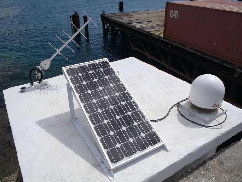
Photo albumFTTG
BibliographyFTTG
If you have a relevant reference to suggest, please send-us an e-mail : sonel@sonel.org-
 DONAL, 2015. Futuna ITRF site co-location survey.


