
GALVESTON
Contributing agency

Station summaryN301

GNSS-IR


| IGS-type acronym : | N30100USA |
| Latitude : | 29.30974700 |
| Longitude : | -94.79346800 |
| Installed date : | 2018-07-10 |
| Decommissioned date : | |
| Country : | U.S.A. |
| City: | GALVESTON |
| Station status : | active (green) |
| Distance to Tide Gauge (m) : | 2 |
| Domes Nr.: | |
| Station operator: | (NOAA) - National Oceanic and Atmospheric Administration |
| IGS-like station form : |
GPS position times seriesN301
Position
(Reference epoch: )
(Reference epoch: )
Offsets (mm)
| M | Material change or malfunction |
| E | Earthquake |
| RF | Reference Frame change |
| U | Unknown |
| NA | Not available |
| Position discontinuity | |
| Velocity discontinuity |
Data available at SONELN301
Quality plots on RINEX filesN301
 |
 |
Plots generated using software developed with the EPN team at ROB |
| Observations & tracking performance | Satellite tracking |
 (this operation may take 20 to 45s)
The satellite tracking graph has been calculated for all stations for the first day of each month. If you wish to have a graph for another date, choose the 'Calculate a specific date' option.
Comparison with satellite altimetry data
- Link to Sea Level Differences (Satellite altimetry minus tide gauge data).
Co-located instrumentsN301
- GPS : Galveston 1 (GAL1)
- GPS : Galveston (TXGV)
- Tide gauge : GALVESTON Pier 21 (G21TG)
- Tide gauge : GALVESTON Pleasure Pier (GPPTG)
- GPS : Galveston A (TXGA)
- GPS : TXNJ North Jetty (TXNJ)
Leveling & DatumsN301
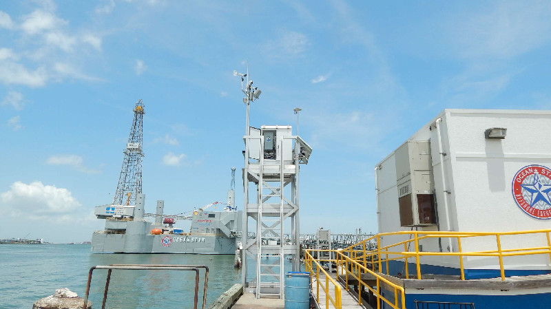
Photo albumN301
BibliographyN301
If you have a relevant reference to suggest, please send-us an e-mail : sonel@sonel.org-
 Liu, Li et al., 2020. Land subsidence contributions to relative sea level rise at tide gauge Galveston Pier 21, Texas. Scientific Reports.


