Contributing agency


Station summaryRGTG


| IGS-type acronym : | RGTG10PYF |
| Latitude : | -14.94581200 |
| Longitude : | -147.70604500 |
| Installed date : | 2022-11-20 |
| Decommissioned date : | |
| Country : | FRANCE |
| City: | RANGIROA |
| Station status : | No data for 30 days (orange) |
| Distance to Tide Gauge (m) : | 1 |
| Domes Nr.: | 92501M002 |
| Station operator: |
GOP Contact
|
| IGS-like station form : |
GPS position times seriesRGTG
Position
(Reference epoch: )
(Reference epoch: )
Offsets (mm)
| M | Material change or malfunction |
| E | Earthquake |
| RF | Reference Frame change |
| U | Unknown |
| NA | Not available |
| Position discontinuity | |
| Velocity discontinuity |
Data available at SONELRGTG
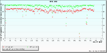
Quality plots on RINEX filesRGTG
 |
 |

Plots generated using software developed with the EPN team at ROB |
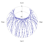
| Observations & tracking performance | Satellite tracking |
 (this operation may take 20 to 45s)
The satellite tracking graph has been calculated for all stations for the first day of each month. If you wish to have a graph for another date, choose the 'Calculate a specific date' option.
Leveling & DatumsRGTG
Photo albumRGTG
Log bookRGTG
2026-05-13 (22/06/2026)
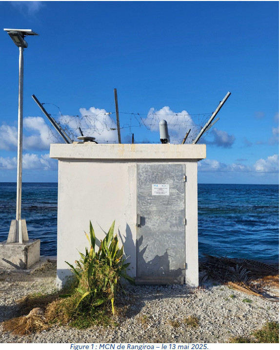
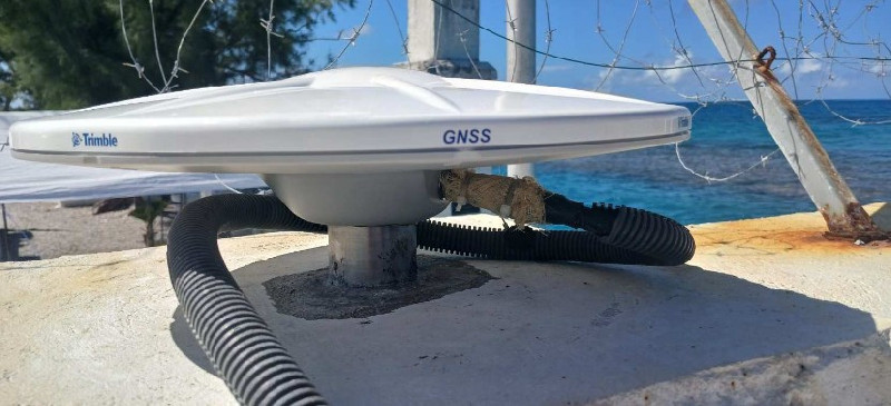
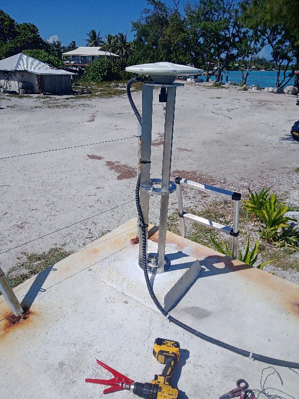
Between April 14 and 21, 2026, the new RGTG10PYF station was installed by the Polynesian Hydrographic team at Shom (GOP). The antenna is oriented towards the north and centered on the old reference point.
Optical levelling was performed. The receiver is configured to use ARP as the measure reference point. The riser will be added during the data processing.