
KERGUELEN
Contributing agency

Station summaryKERG


| IGS-type acronym : | KERG00ATF |
| Latitude : | -49.35146677 |
| Longitude : | 70.25552197 |
| Installed date : | 1994-11-16 |
| Decommissioned date : | |
| Country : | FRANCE |
| City: | PORT-AUX-FRANCAIS |
| Station status : | active (green) |
| Distance to Tide Gauge (m) : | 2650 |
| Domes Nr.: | 91201M002 |
| Station operator: | (CNES) - Centre National d"Etudes Spatiales |
| IGS-like station form : |
GPS position times seriesKERG
(Reference epoch: )
| M | Material change or malfunction |
| E | Earthquake |
| RF | Reference Frame change |
| U | Unknown |
| NA | Not available |
| Position discontinuity | |
| Velocity discontinuity |
Data available at SONELKERG
Quality plots on RINEX filesKERG
 |
 |
Plots generated using software developed with the EPN team at ROB |
| Observations & tracking performance | Satellite tracking |
 (this operation may take 20 to 45s)
The satellite tracking graph has been calculated for all stations for the first day of each month. If you wish to have a graph for another date, choose the 'Calculate a specific date' option.
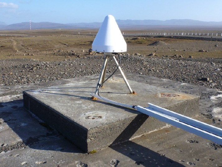
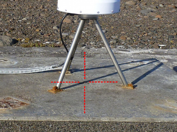
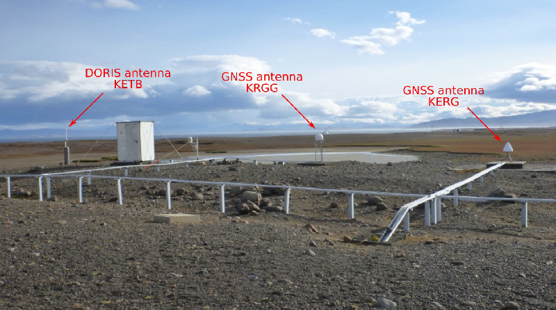
Co-located instrumentsKERG
- Tide gauge : KERGUELEN (KERGU)
- GPS : Kerguelen Island 2 (KRGG)
- GPS : Kerguelen - Pilier NIVMER (KETG)
- GPS : Kerguelen Reflectometry (KERR)
- Doris : KERGUELEN (KEWC)
Leveling & DatumsKERG
Photo albumKERG
BibliographyKERG
If you have a relevant reference to suggest, please send-us an e-mail : sonel@sonel.org-
 DONAL, 2017. Kerguelen ITRF co-location site survey. Rapport Technique IGN/SGN, RT/G 243.
-
Testut, Martin Miguez et al., 2012. Performance of modern tide gauges: towards mm-level accuracy. Scientia Marina.

-
Testut, 2006. The sea level at Port-aux-Français, Kerguelen Island, from 1949 to the present. Ocean Dynamics.
Log bookKERG
[IGSSTATION-7962] - 2020-05-26 (09/06/2020)
A firmware upgrade was done for CIBG, CHPG, CPVG, FTNA, JFNG, KERG, MAYG, OWMG, RGDG, SEYG stations (5.45 version for Trimble Alloy/NetR9), on 2020-05-25.
New sitelogs have been submitted to IGS.
[IGSSTATION-7890] - 2020-02-19 (18/03/2020)
A firmware upgrade was done on CIBG, FTNA, JFNG, KERG, MAYG station (Trimble NetR9, 5.43 version). The new sitelog have been submitted to IGS.
[IGSSTATION-7816] - 2019-12-05 (20/12/2019)
The amplifier and cable have been replaced by a LMR-600 cable (71m). The new sitelog has been submitted to IGS.
[IGSSTATION-6674] - 2016-05-30 (31/05/2016)
KERG and KRGG stations (Kerguelen Island) are available since 2016-05-24 06h00 UT. Data have been submitted for this period.
We’ve encountered a data loss on KRGG between 2016-05-27 05h30Z and 2016-05-29 01h15Z.
[IGSSTATION-6660] - 2016-05-24 (24/05/2016)
KERG and KRGG stations (Kerguelen Island) are unavailable since 2016-05-20 06h00 UT. An investigation is in progress (network issue).
We will keep you informed on when the problem will be fixed.


