
ALEXANDRIA
Contributing agency

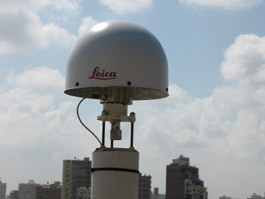
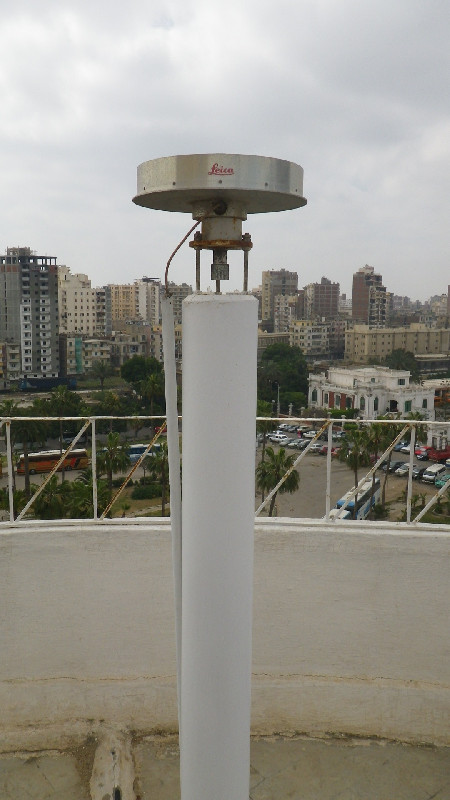
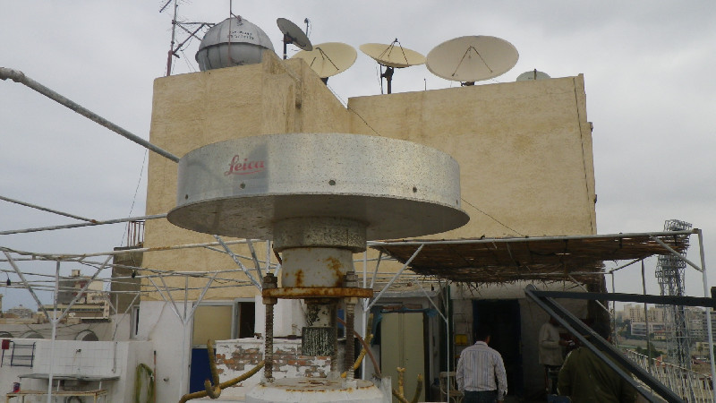
Station summaryALX2


| IGS-type acronym : | ALX200EGY |
| Latitude : | 31.19706600 |
| Longitude : | 29.91099100 |
| Installed date : | 2008-03-03 |
| Decommissioned date : | 2024-12-09 |
| Country : | EGYPT |
| City: | ALEXANDRIA |
| Station status : | Decommissioned (white and red cross) |
| Distance to Tide Gauge (m) : | 3132 |
| Domes Nr.: | 30102M001 |
| Station operator: | (CEAlex) - Centre d'Etudes Alexandrines |
| IGS-like station form : |
GPS position times seriesALX2
(Reference epoch: )
| M | Material change or malfunction |
| E | Earthquake |
| RF | Reference Frame change |
| U | Unknown |
| NA | Not available |
| Position discontinuity | |
| Velocity discontinuity |
Data available at SONELALX2
Quality plots on RINEX filesALX2
 |
 |
Plots generated using software developed with the EPN team at ROB |
| Observations & tracking performance | Satellite tracking |
 (this operation may take 20 to 45s)
The satellite tracking graph has been calculated for all stations for the first day of each month. If you wish to have a graph for another date, choose the 'Calculate a specific date' option.
Co-located instrumentsALX2
- GPS : Alexandria (ALEX)
- Tide gauge : Alexandria Port (ALEXA)
- Tide gauge : Alexandria Navy (ALEXN)
Leveling & DatumsALX2
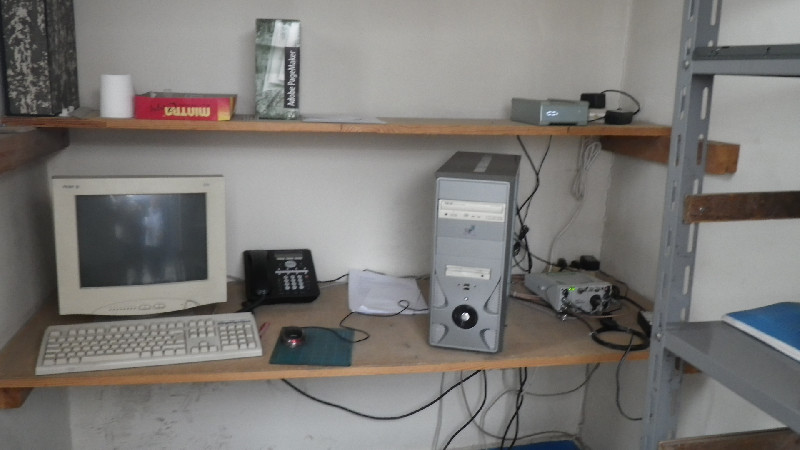
Photo albumALX2
BibliographyALX2
If you have a relevant reference to suggest, please send-us an e-mail : sonel@sonel.org-
 Abdelaal, Bao et al., 2024. Assessing Coastal Heritage Sustainability: Crustal Deformation and Sea-Level Trends At the Qaitbay Citadel in Alexandria, Egypt. IEEE Journal of Selected Topics in Applied Earth Observations and Remote Sensing.

-
Dawod, Ebaid et al., 2021. An Integrated Geomatics Approach for Projecting Sea Level Variations and Risks A Case Study in the Nile Delta, Egypt. Journal of Architecture and Civil Engineering.

-
Frihy, 2003. The Nile Delta-Alexandria coast: vulnerability to sea-level rise, consequences and adaptation. Mitigation and Adaptation Strategies for Global Change.
-
Gebremichael, Sultan et al., 2018. Assessing Land Deformation and Sea Encroachment in the Nile Delta: A Radar Interferometric and Inundation Modeling Approach. Journal of Geophysical Research: Solid Earth.
-
Hassan, Saleh et al., 2025. Environmental risk assessment of the Nile Delta, Egypt, based on radar interferometry, altimetry, and geodetic measurements. Scientific Reports.
-
Woodworth, Aman et al., 2007. Sea level monitoring in Africa. African Journal of Marine Science.
-
Woppelmann, Le Cozannet et al., 2013. Is land subsidence increasing the exposture to sea level rise in Alexandria, Egypt?. Geophysical Research Letters.
-
Woppelmann, Marcos, 2012. Coastal sea level rise in southern Europe and the nonclimate contribution of vertical land motion. Journal of Geophysical Research.
History of the stationALX2
Station has been decommissioned after the relocation of the CEA.
Log bookALX2
[CEAmail] 2024-12-13 (13/12/2024)
December 09, 2024 : Station was decommissioned following the CEA's move.
December 13, 2024 : Missing data has been collected and integrated in the SONEL database. New Data available.
The New station will be installed in the first half of 2025 and will be named ALX3. More information in spring 2025.
[CEAmail] 2024-11-19 (21/11/2024)
[CEAmail] 2024-11-19 (21/11/2024)
We have not received the data since september 15, 2024.
November 19, 2024 : The CEA informs us that the station will be moved to them new office in december (no precise date). There is no date for the new installation.
Missing data (since september 15) will be accessible when the station shuts down


