
DAKAR
Contributing agency

Station summaryDAKA


| IGS-type acronym : | DAKA00SEN |
| Latitude : | 14.68454400 |
| Longitude : | -17.46510500 |
| Installed date : | 2002-03-21 |
| Decommissioned date : | 2007-07-01 |
| Country : | SENEGAL |
| City: | DAKAR |
| Station status : | Decommissioned (white and red cross) |
| Distance to Tide Gauge (m) : | 3772 |
| Domes Nr.: | 34106M001 |
| Station operator: | (UCAD) - Universite Cheikh Anta Diop |
| IGS-like station form : |
GPS position times seriesDAKA
Position
(Reference epoch: )
(Reference epoch: )
Offsets (mm)
| M | Material change or malfunction |
| E | Earthquake |
| RF | Reference Frame change |
| U | Unknown |
| NA | Not available |
| Position discontinuity | |
| Velocity discontinuity |
Data available at SONELDAKA
Quality plots on RINEX filesDAKA
 |
 |
Plots generated using software developed with the EPN team at ROB |
| Observations & tracking performance | Satellite tracking |
 (this operation may take 20 to 45s)
The satellite tracking graph has been calculated for all stations for the first day of each month. If you wish to have a graph for another date, choose the 'Calculate a specific date' option.
Co-located instrumentsDAKA
Leveling & DatumsDAKA
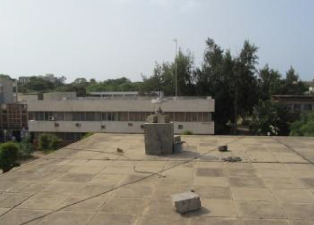
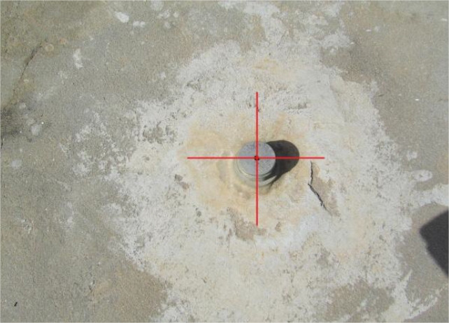
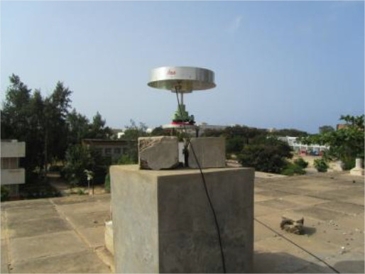
Photo albumDAKA
BibliographyDAKA
If you have a relevant reference to suggest, please send-us an e-mail : sonel@sonel.org-
 Le Cozannet, Raucoules et al., 2015. Vertical ground motion and historical sea-level records in Dakar(Senegal). Environmental Research Letters.

-
Poyard, 2011. Rattachement métrologique du marégraphe à la station GNSS permanente, Dakar, Sénégal.
-
Woodworth, Aman et al., 2007. Sea level monitoring in Africa. African Journal of Marine Science.


